


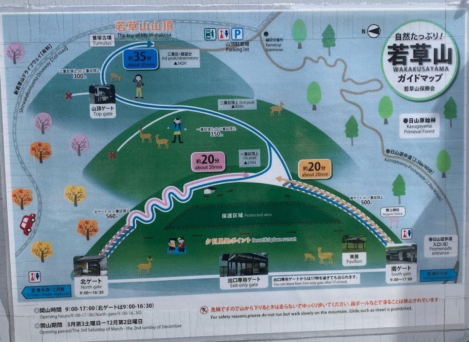
若草山
Every January, the mountain burning event takes place, leaving the slopes dark for a while. However, by spring, they transform into a beautiful green.
Wakakusa-yama Mountain has three levels:
First level (elevation: 270m)
Second level (elevation: 305m)
Third level (elevation: 342m)
From the base gate, it takes about 35 to 40 minutes on foot to reach the top at the third level.
The entrance fee is 150 yen, and the mountain is closed during the winter. (Open from the third Saturday in March to the second Sunday in December.)
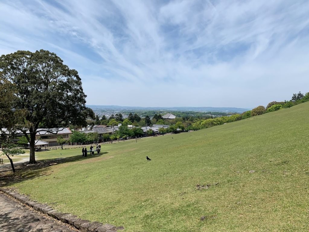
Taken from the base of Wakakusa-yama Mountain.
Only the first level is visible, but beyond it lie the second and third levels.
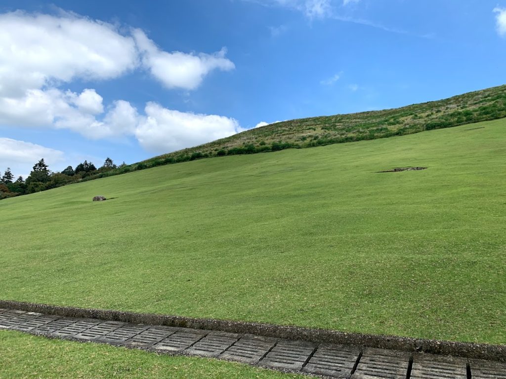
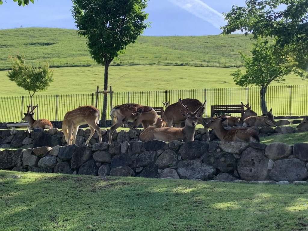
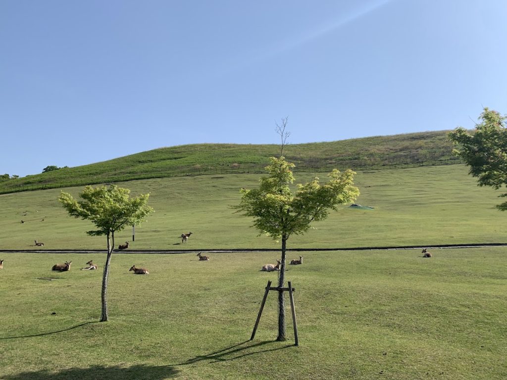
In spring, a beautiful green lawn spreads across the mountain.
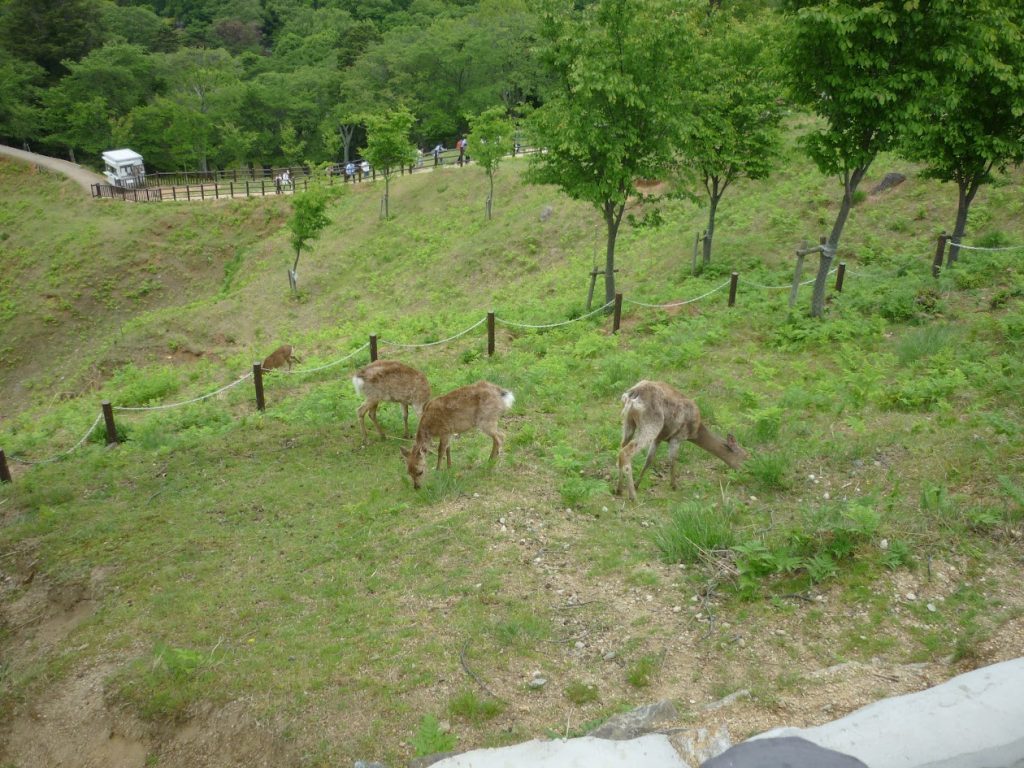
Its neatly trimmed appearance is all thanks to the deer.
After finishing their meal, it’s time for a break.
登りはじめです。The climb begins.
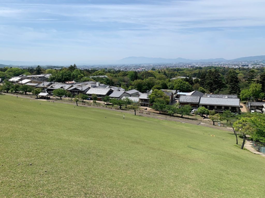
A view of Nara City from midway up the first level of Wakakusa-yama Mountain.
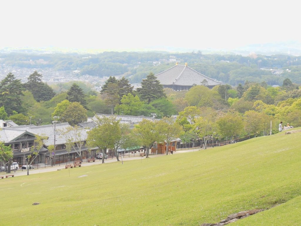
A view towards Todai-ji Great Buddha Hall (northwest direction).
A view from higher up the mountain.
The distinctive roof of Todai-ji Great Buddha Hall is visible.
In the distance are the Ikoma mountain range, marking the border between Nara Prefecture and Osaka Prefecture.
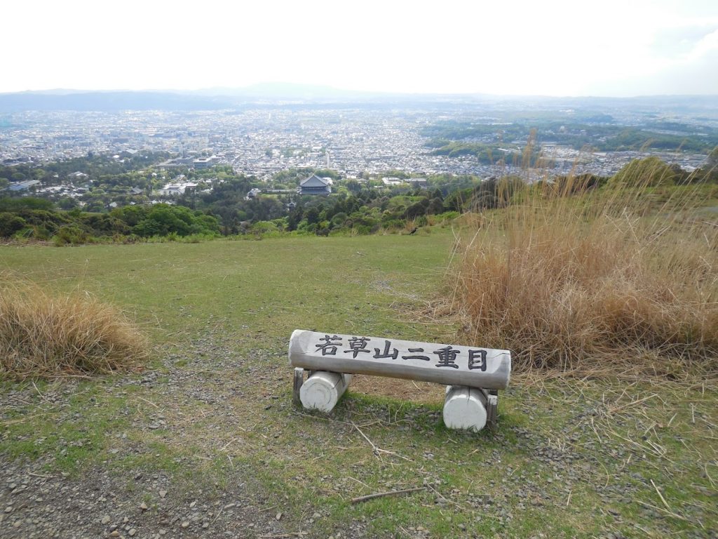
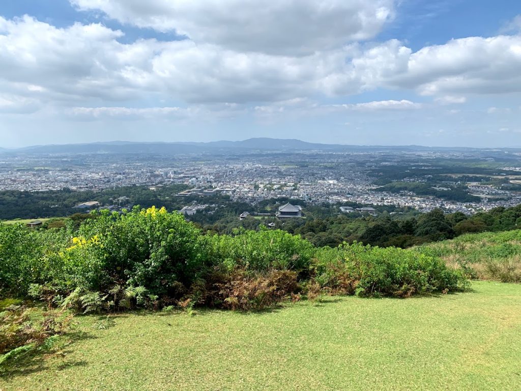
This is the view from the second level.
You can now see a much broader view of the town of Nara.
A photo of the trail between the second and third levels of Wakakusa-yama Mountain.
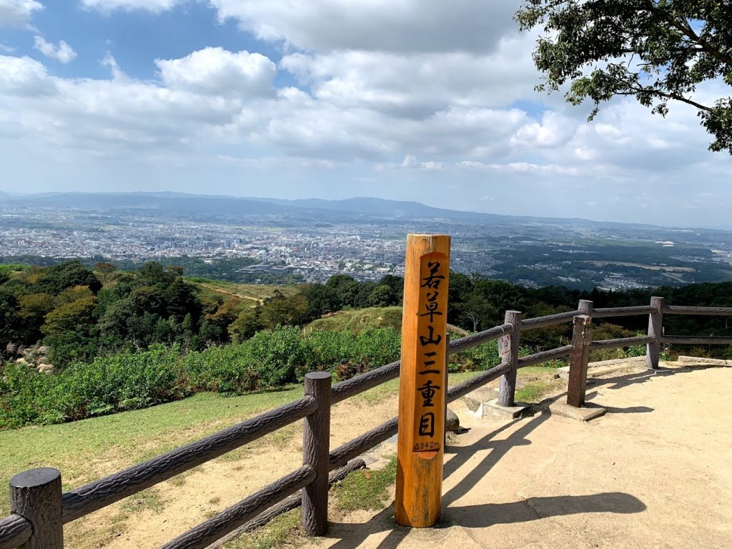
The Summit: Third Level
The night view from the top of Wakakusa-yama’s third level was selected in 2003 as one of the New Three Great Night Views of Japan. The other two locations are Fuefuki Fruit Park in Yamanashi City and Mount Sarakura in Kitakyushu City.
If you have access to a car, you can easily reach the summit via the Shin-Wakakusa-yama Route on the Nara Okuyama Driveway, which passes behind the Great Buddha Hall of Todai-ji Temple.
During the summer season, a direct bus to the summit also operates from Nara Station.

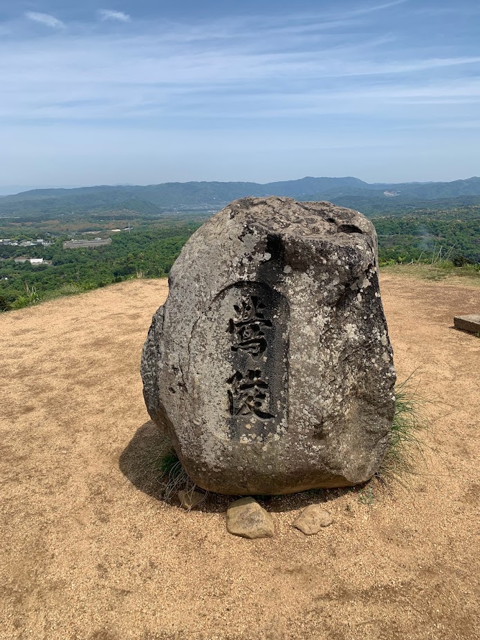
At the summit, you’ll find Uguisuzuka, a keyhole-shaped ancient burial mound.
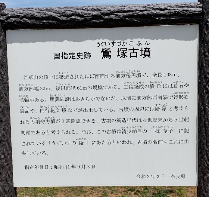
Uguisuzuka Kofun
This keyhole-shaped burial mound stretches 103 meters in length and dates back to the late 4th to early 5th century.
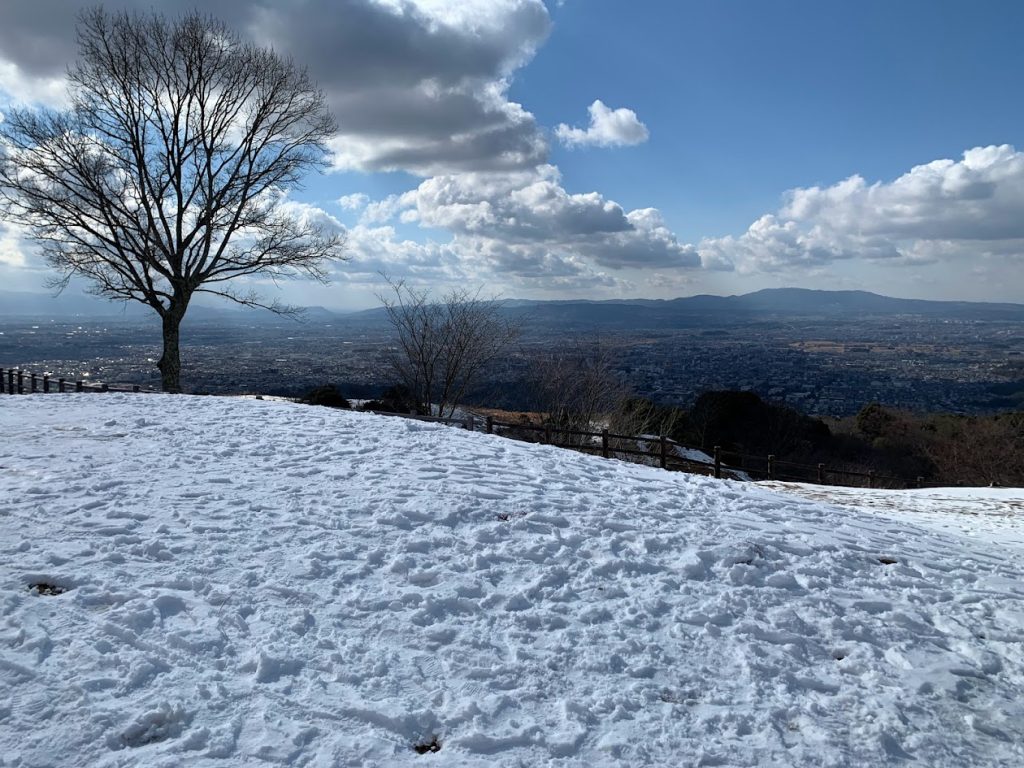
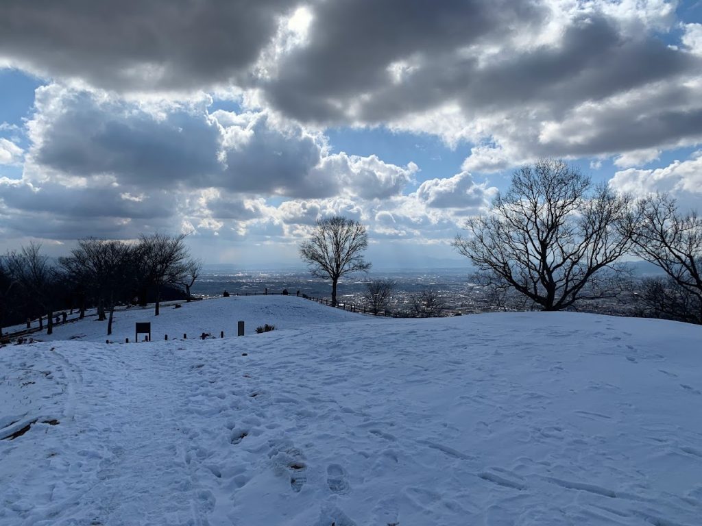
In winter, Wakakusa-yama Mountain is blanketed in snow. The Nara Basin below rarely sees such snowfall.
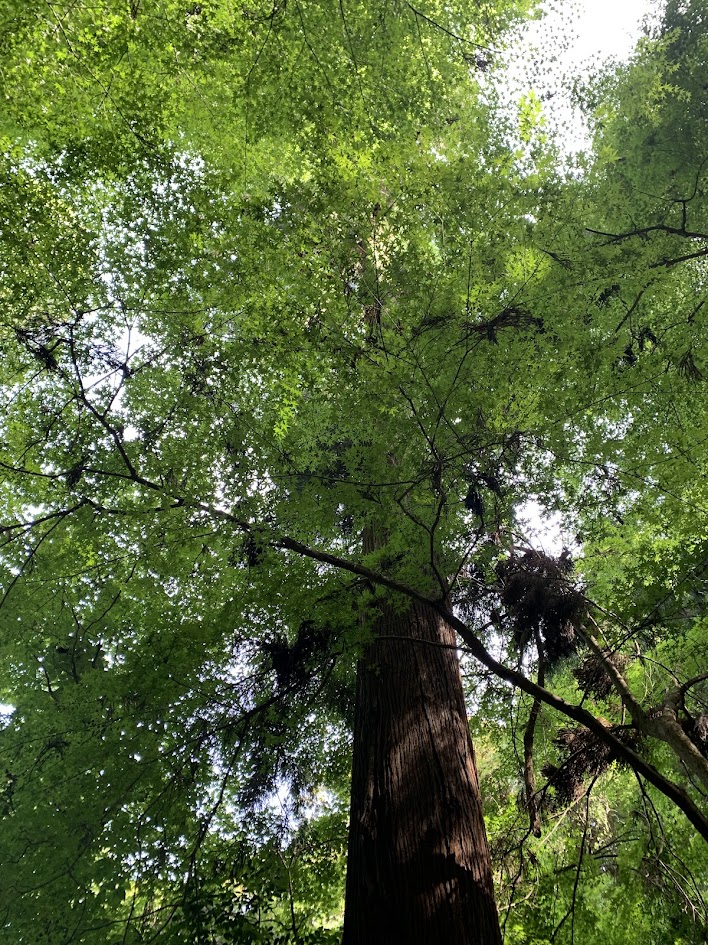
春日山原始林
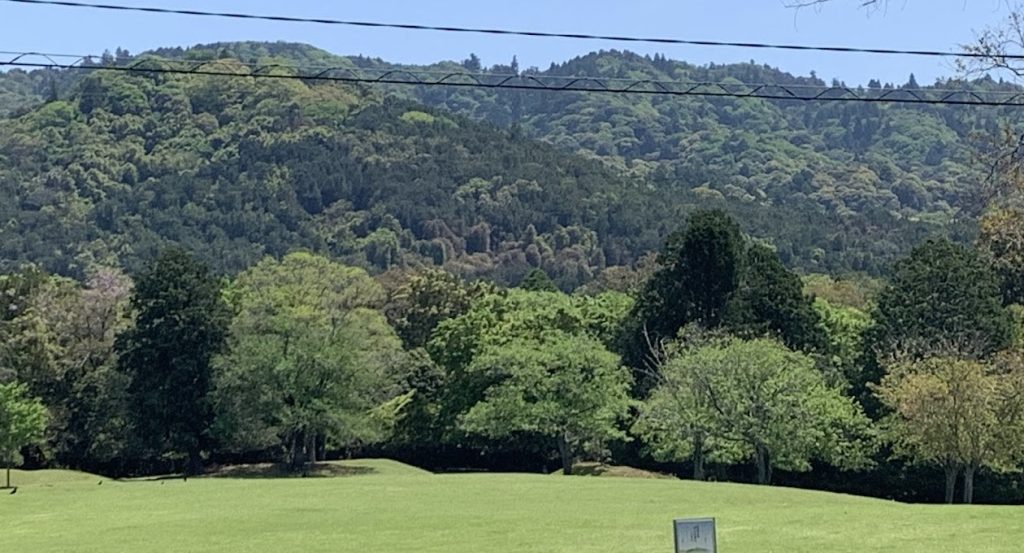
View of the Kasugayama Primeval Forest from Tobihino in Nara Park.
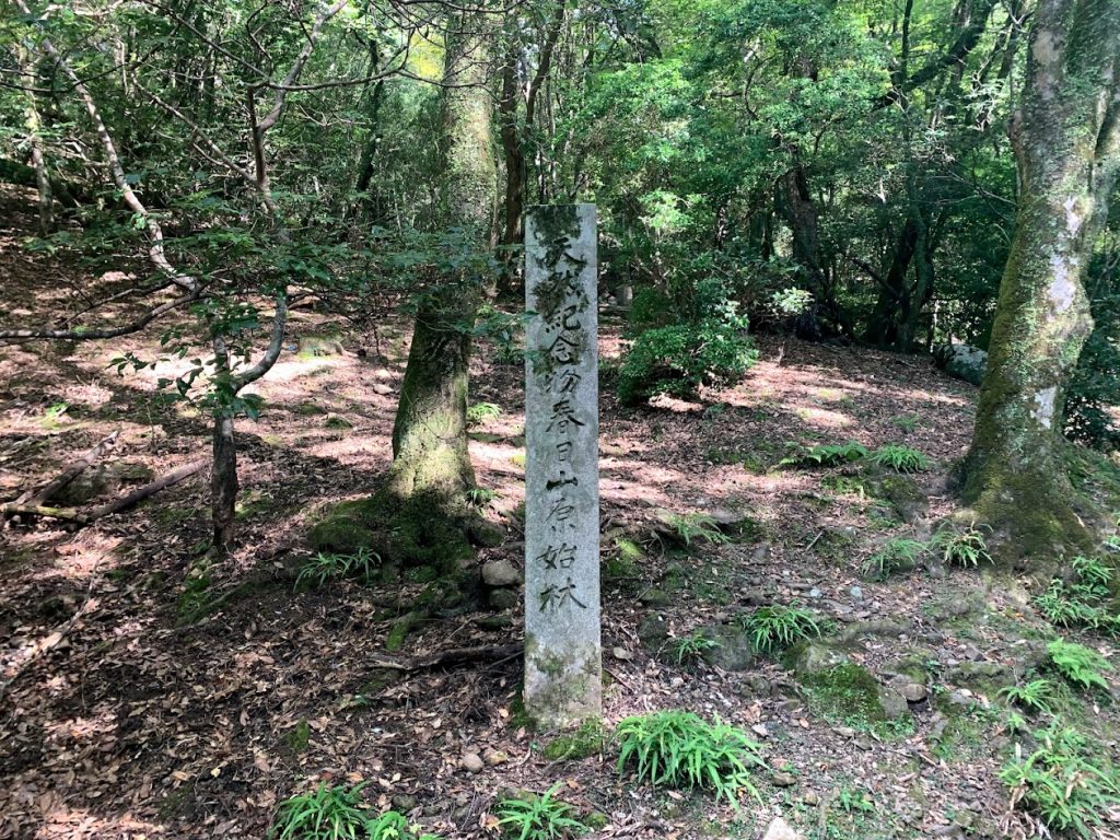
Since the year 841, when hunting and logging were prohibited, the Kasugayama Primeval Forest has been carefully protected as a sacred area of Kasuga Taisha Shrine.
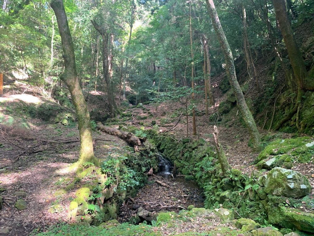
A stream flowing from the Kasugayama Primeval Forest. The forest itself is not open to the public.
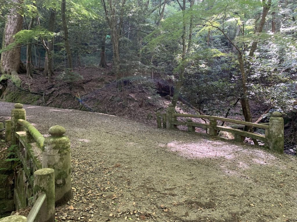
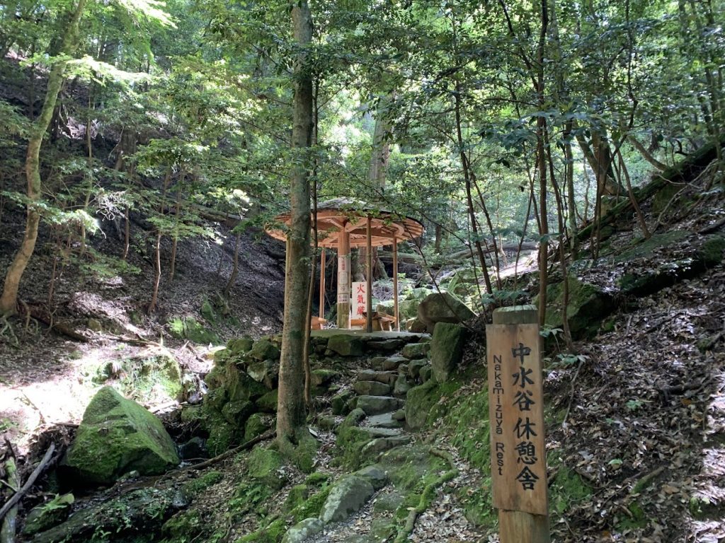
Nakamizuya Rest Area
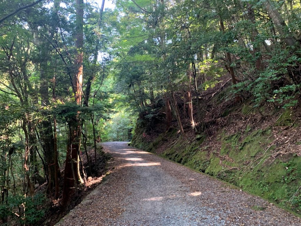
This is as far as visitors can enter the Kasugayama Primeval Forest from the walking trail.
Beyond this point, entry is not permitted.
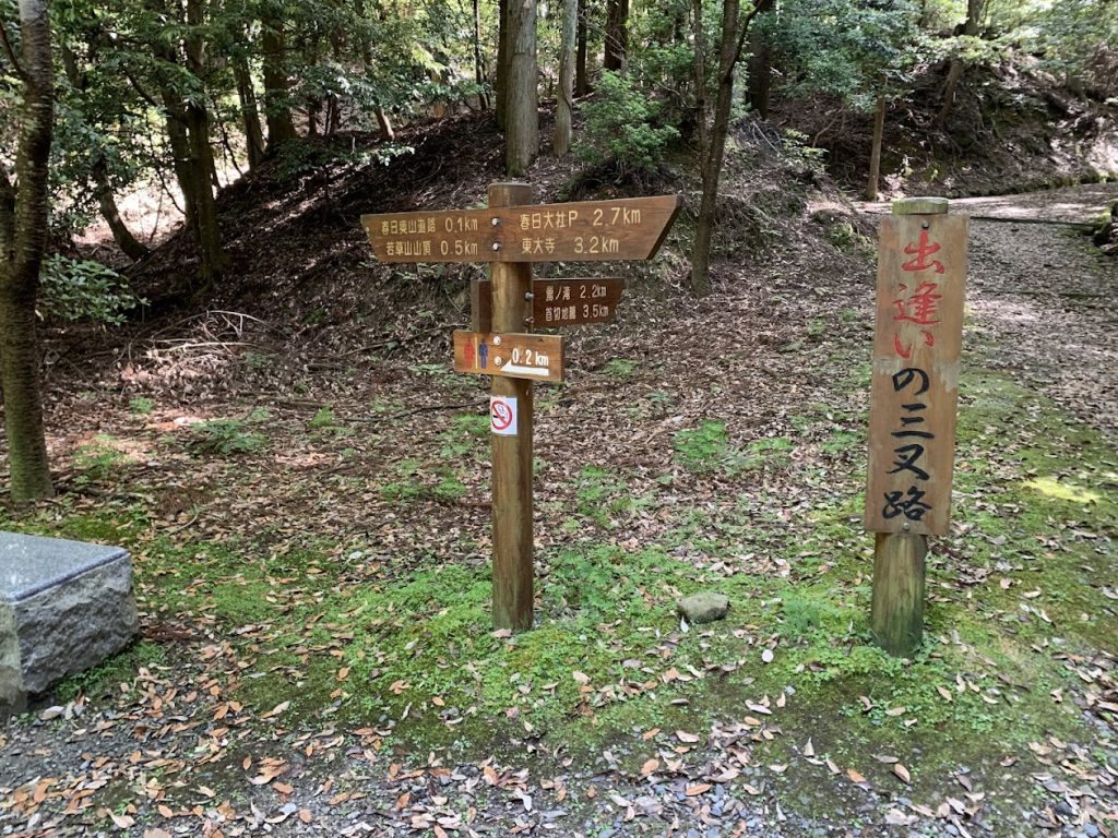
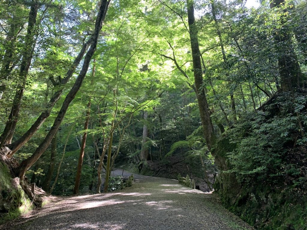
Deai-no-Sansaro (Three-Way Junction of Encounters) Just 500 meters to the summit from here.
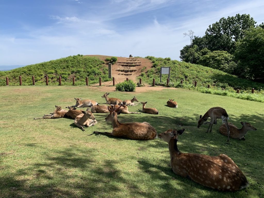
At the summit of Wakakusa-yama Mountain, I was greeted by a gathering of deer.
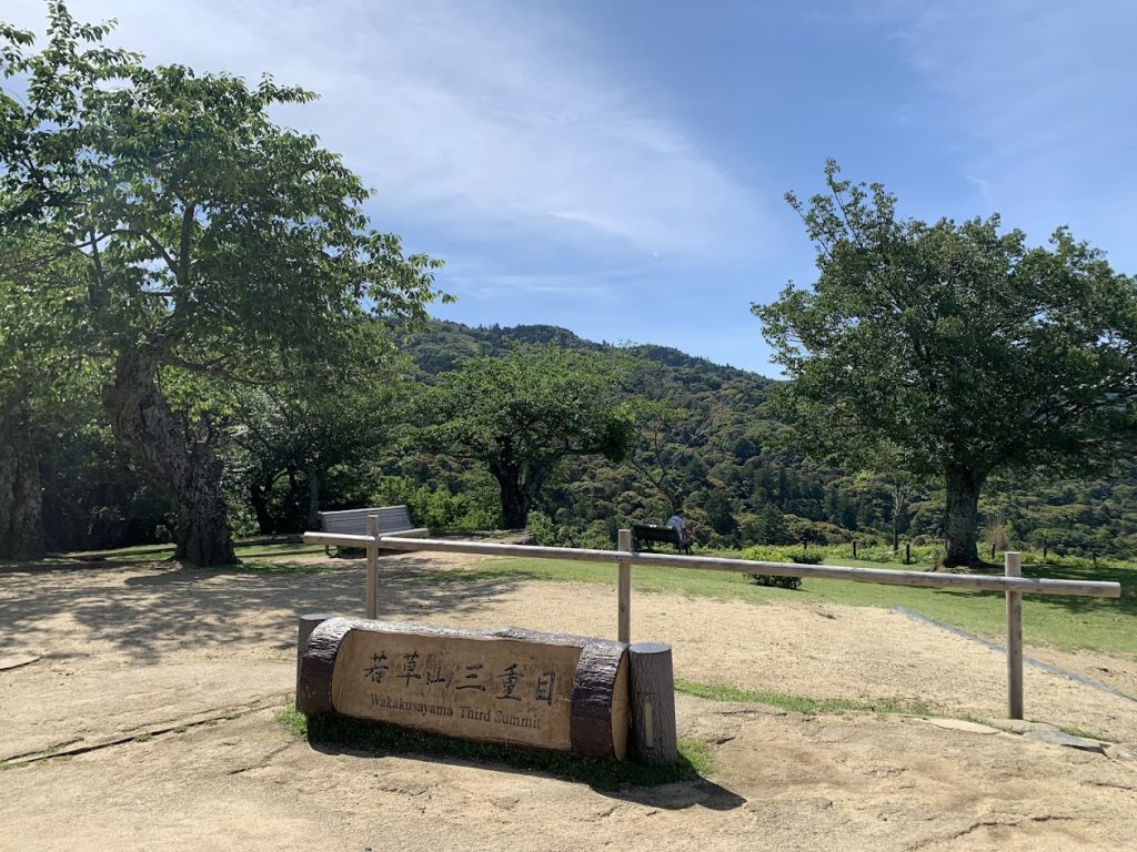
Third Level of Wakakusa-yama
Visible in the distance is the Kasugayama Primeval Forest.
I hiked up through the valley below.
On the way back, I paid the ¥150 entrance fee and descended along the Wakakusa-yama Trail.
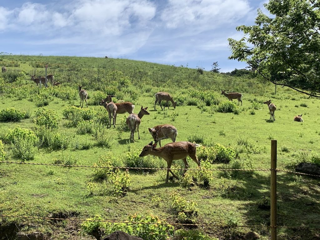
You can see deer just about everywhere.

コメント