


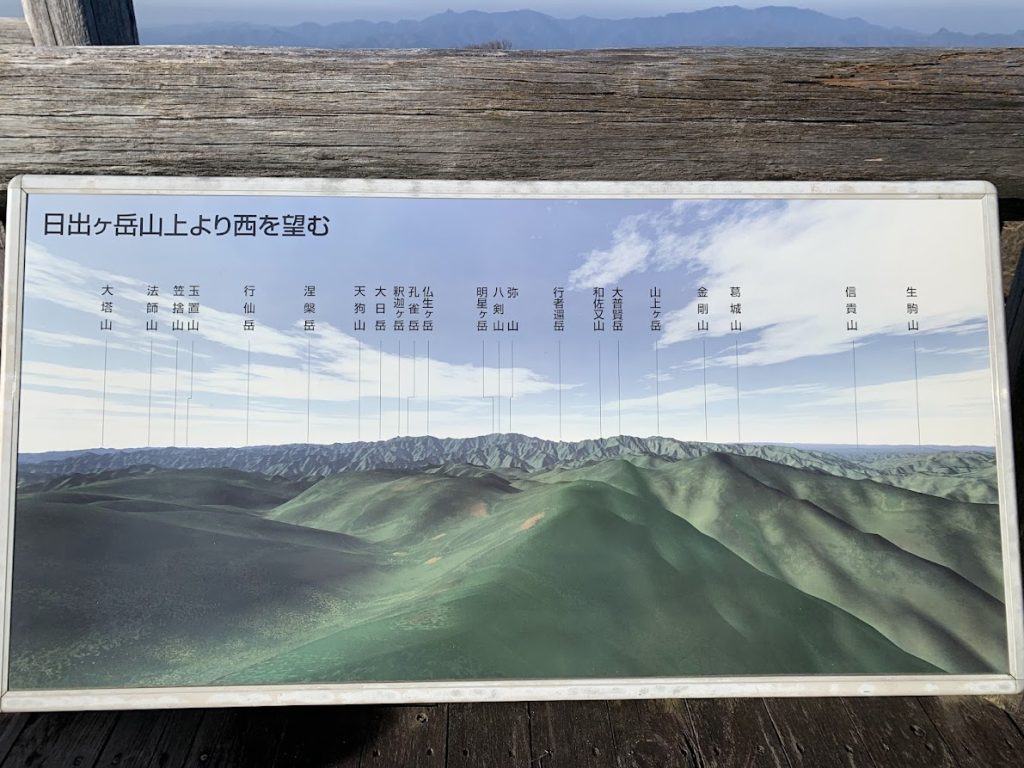
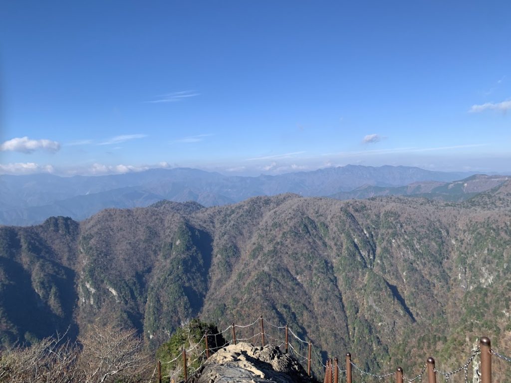
Looking at the western mountains from the summit of Mt. Hinodegatake (1,695 m).
The scenery along the Odaigahara Driveway to the parking lot
At the end of the Odaigahara Driveway, there is a large parking lot. However, it can become fully occupied during the holiday season.
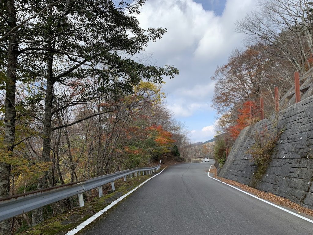
Along the Odaigahara Driveway
The first 2–3 km from the entrance has narrow roads, so caution is necessary.
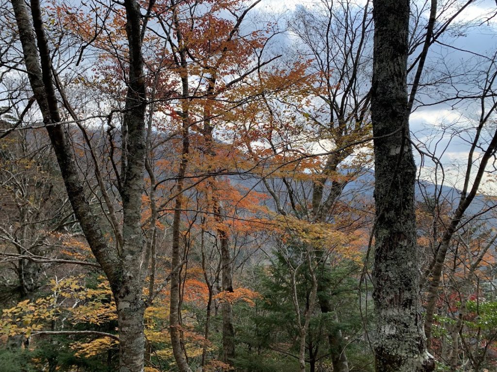
The scenery at the foot of the driveway
Although the autumn leaves at Odaigahara had already finished, beautiful autumn colors could still be seen at the driveway entrance. This photo was taken in mid-November.
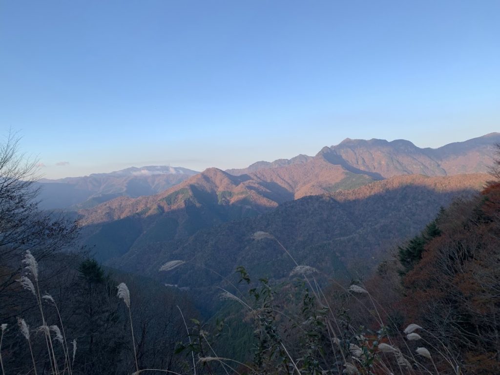
The view of the mountains at dawn as seen from the driveway.

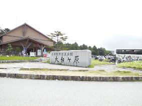
The Odaigahara Visitor Center at the parking lot
The entrance to Odaigahara is located next to this building.
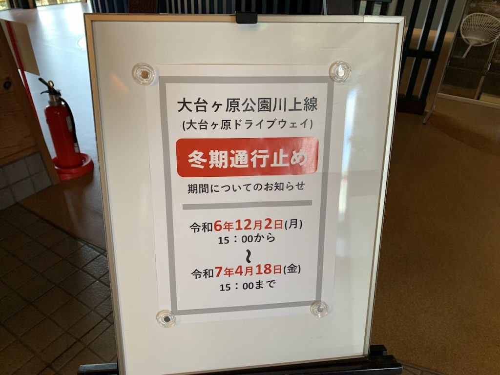
Please note that entry to Odaigahara is prohibited during the winter season.
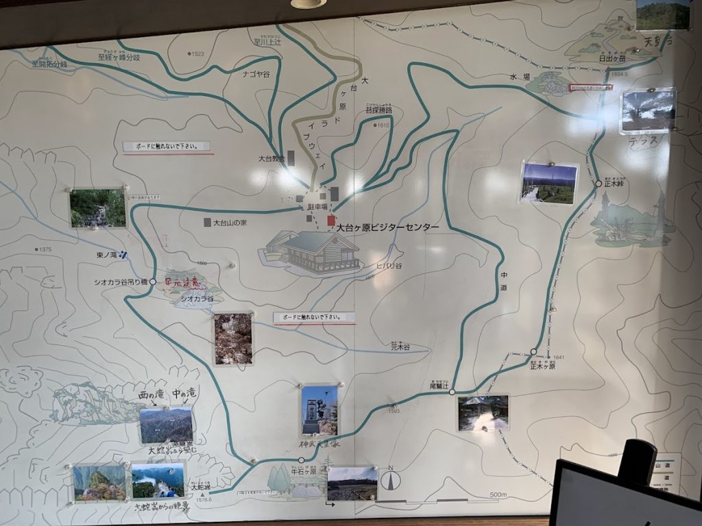
The Visitor Center is in the center.
Hinodegatake is at the upper right.
Masakigahara is at the lower right center.
Ushiishigahara is at the lower left center.
Daijagura is at the lower left.
To Mt. Hidegatake
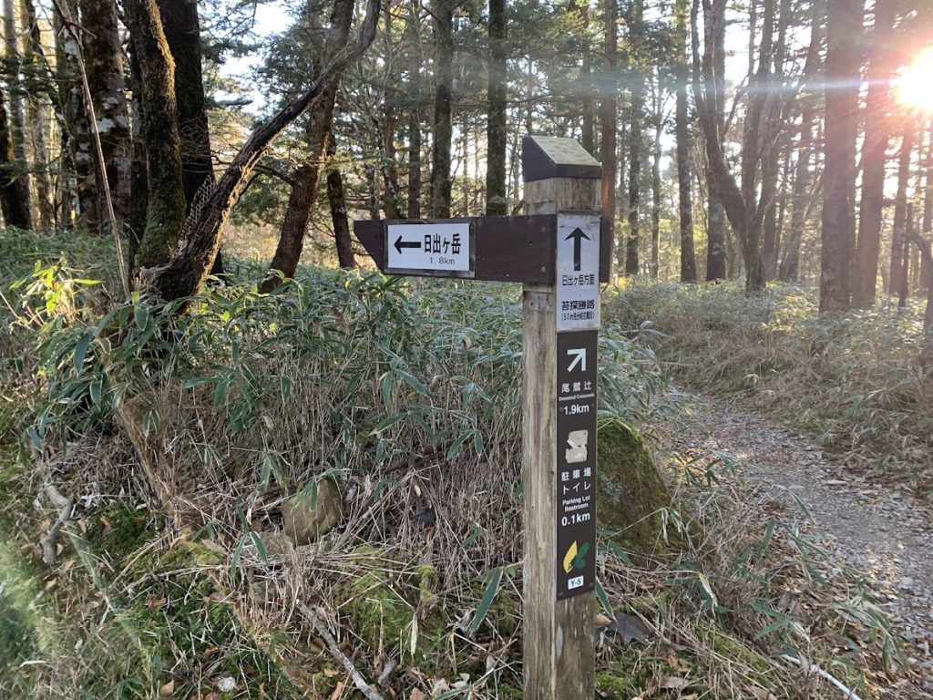
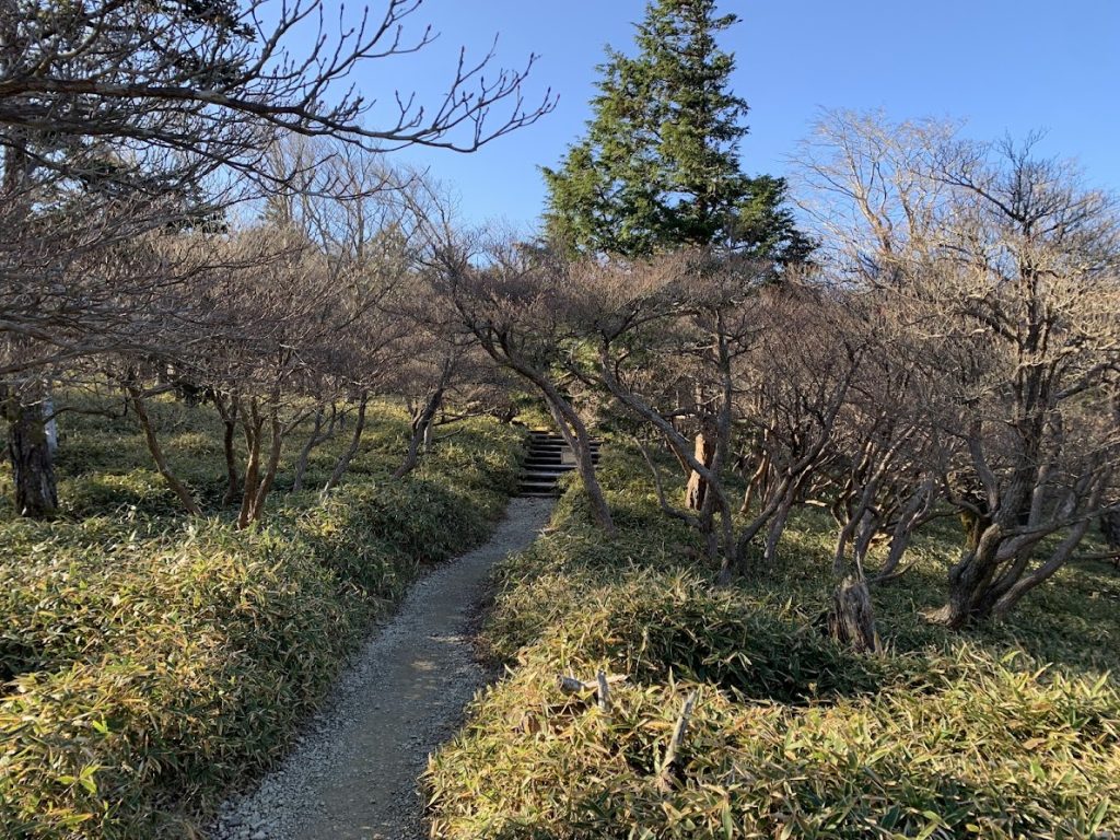
Walking toward Mt. Hinodegatake.
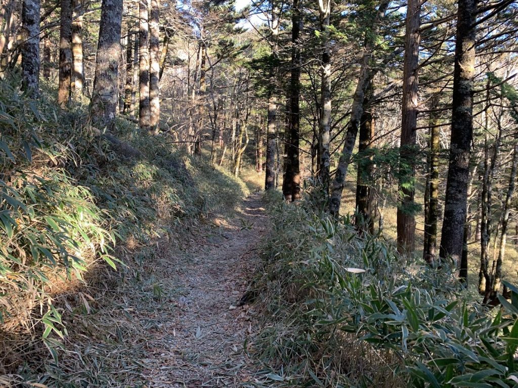
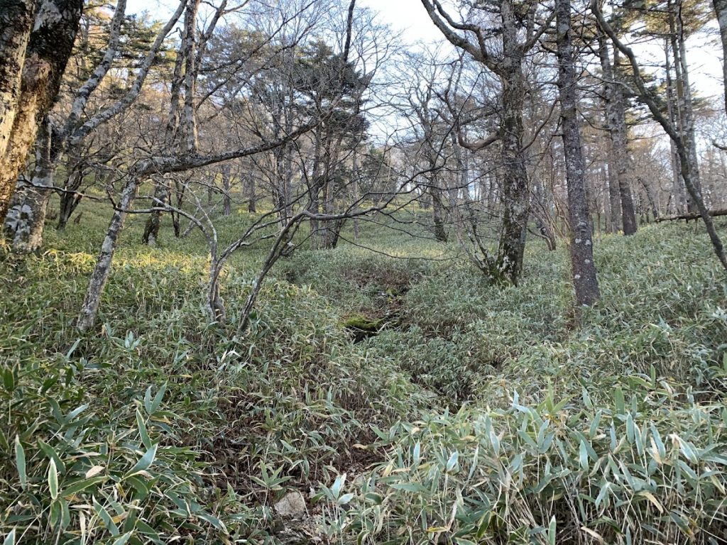
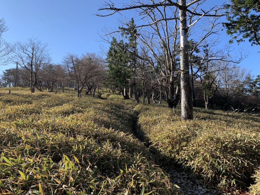
Under the trees, the ground is densely covered with bamboo grass.
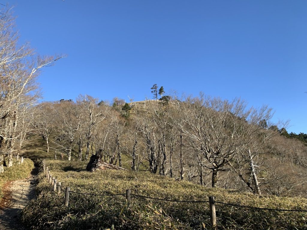
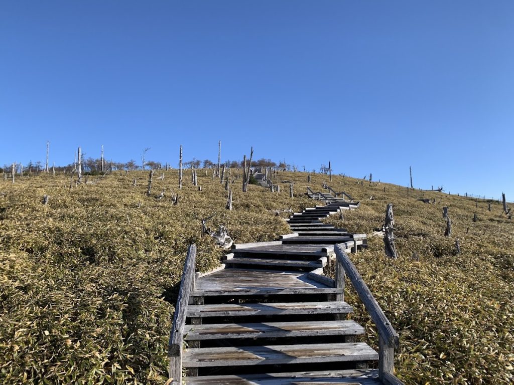
Mt. Hinodegatake has come into view.
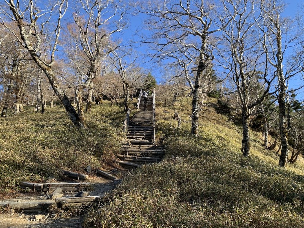
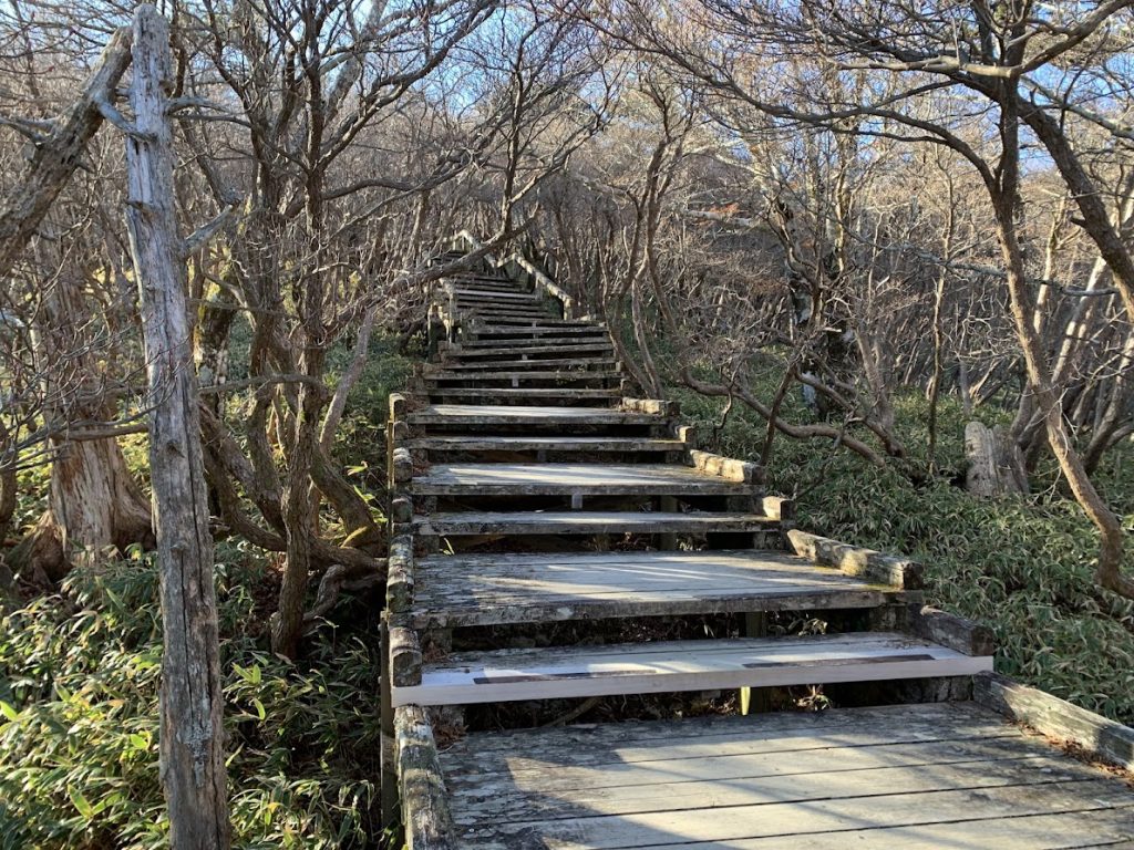
Climbing up the well-maintained wooden stairs.
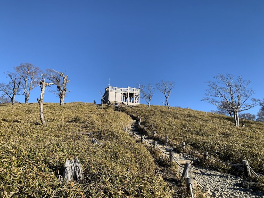
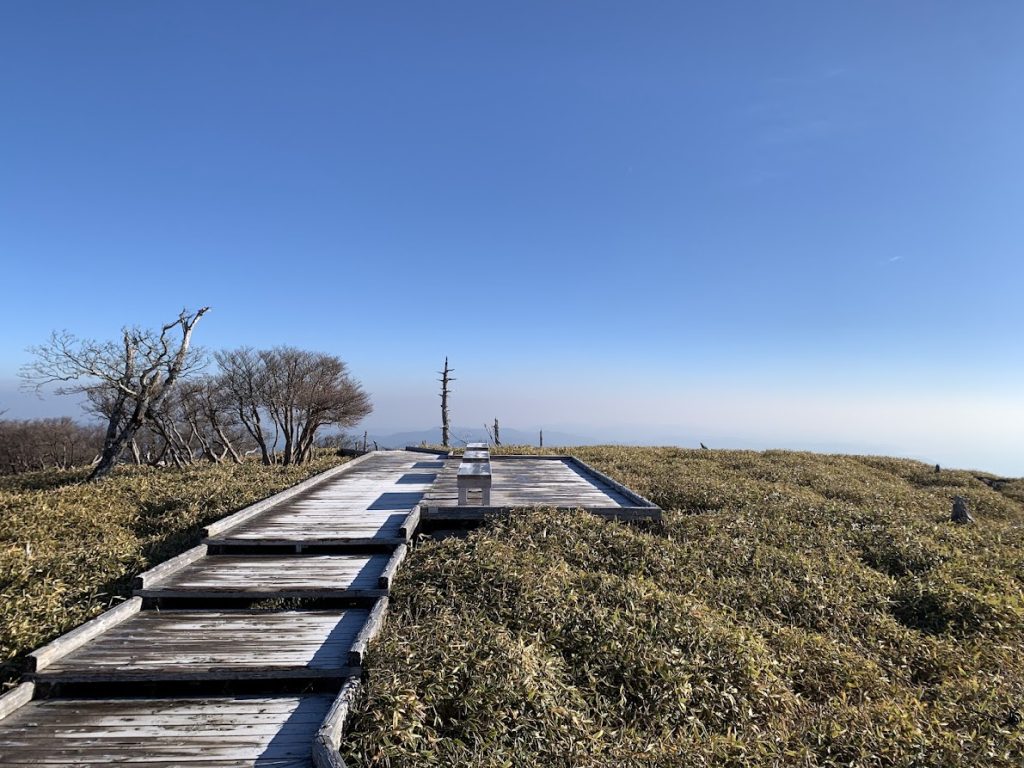
The observation deck at the summit.
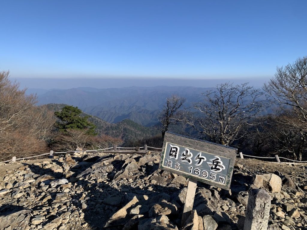
The summit of Mt. Hinodegatake at an elevation of 1,695 meters.
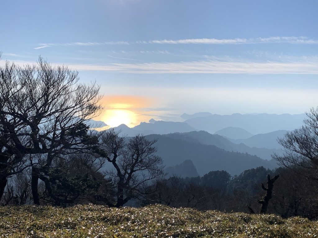
The Kumano Sea shining in the morning sun
The sea can be seen very close by.
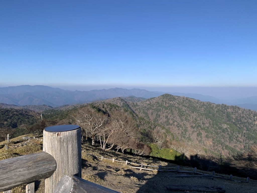
Looking westward
The ridgelines of the distant mountains are part of the Kumano Kodo and Omine Okugake pilgrimage routes.
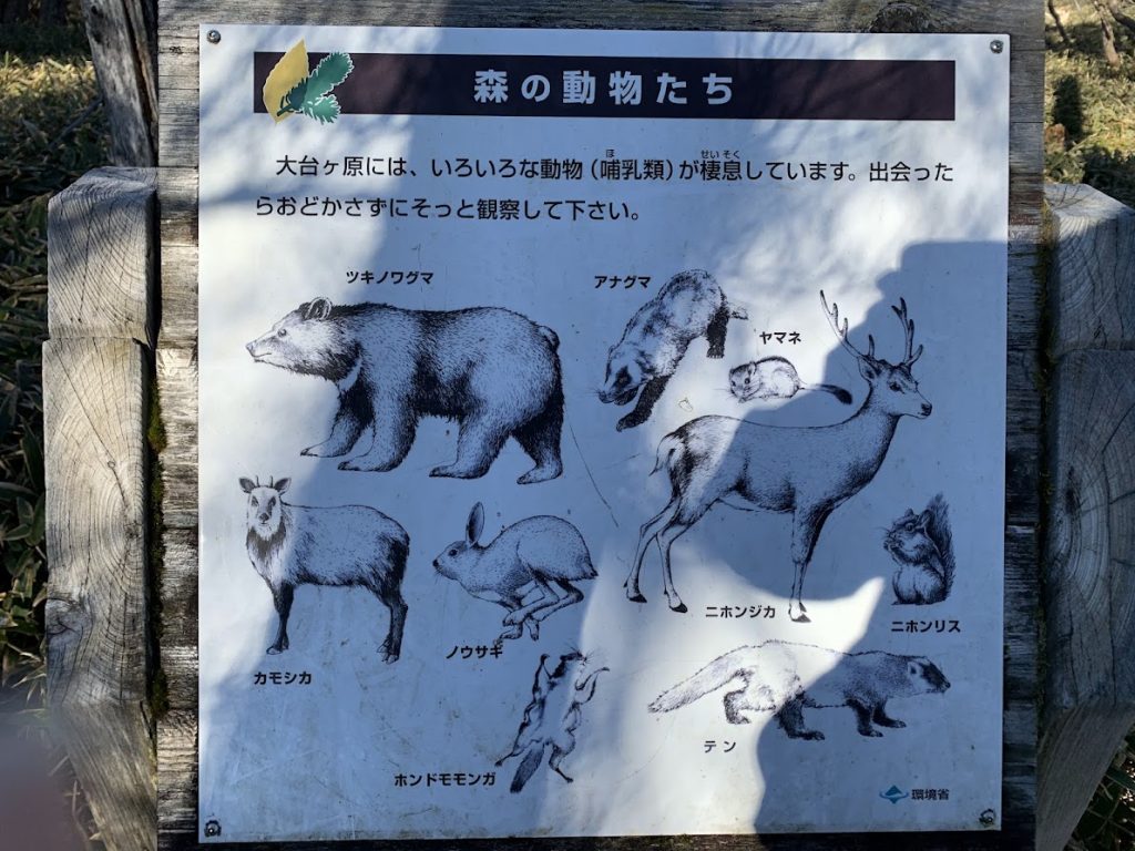
These kinds of animals are said to inhabit the area.
Masaki Pass (Masaki Toge)
Heading from Mt. Hinodegatake toward Masaki Pass (Masaki Toge).
Wooden stairs are also well maintained here.
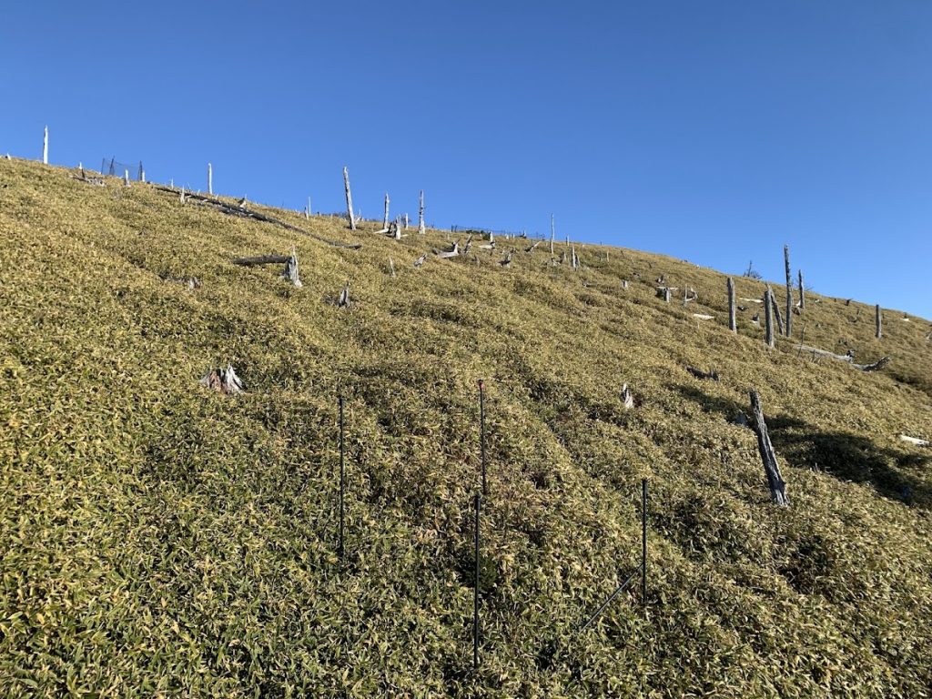
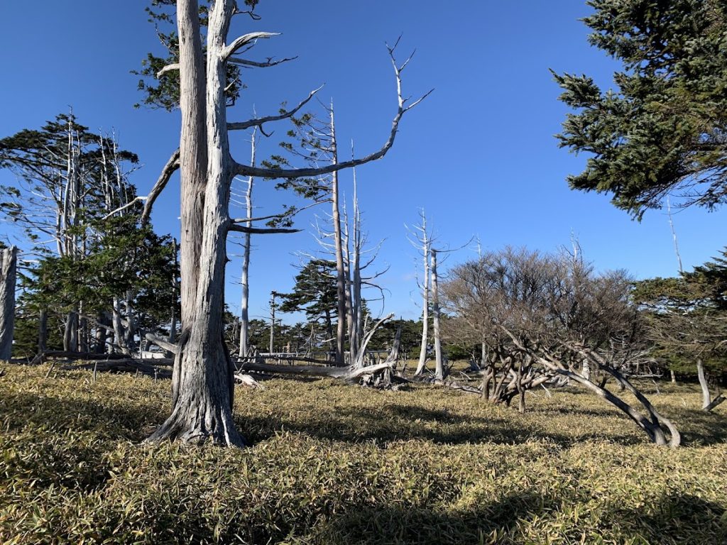
This is Masaki Pass.
Originally, it was a dense forest covered with trees such as spruce, but the forest was destroyed by the Isewan Typhoon in 1959.
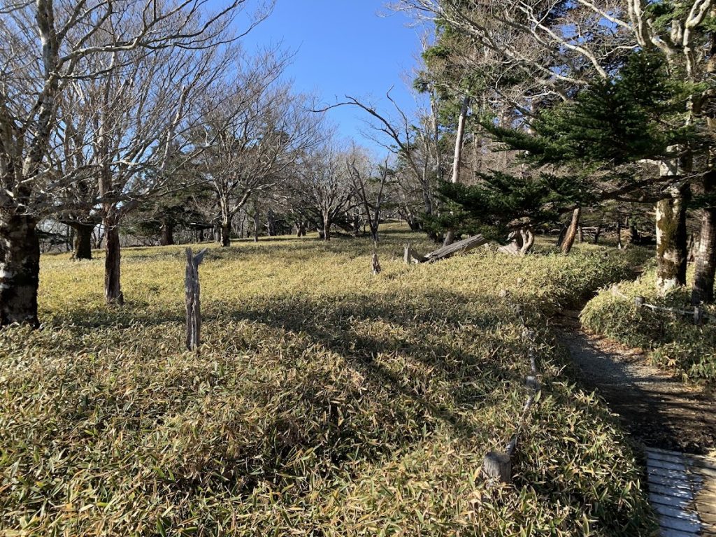
Masakigahara (Masaki Plain)
Heading toward Masakigahara (Masaki Plain).
Looking back at Masaki Pass.
This is Masakigahara (Masaki Plain).
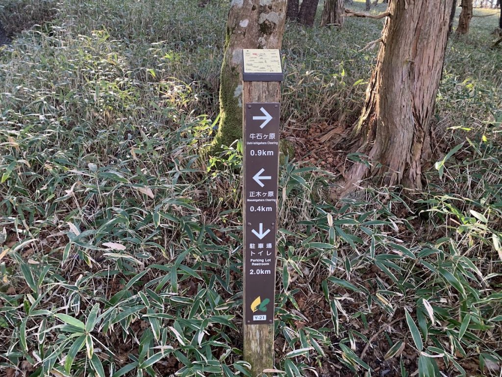
After passing through Masakigahara, I reached a fork.
Going straight leads from Ushiishigahara to Daijagura.
Turning right takes you back to the parking lot.
I went to Daijagura first, then returned along the same path to this point and headed back to the parking lot.
The usual route from Daijagura to the parking lot goes through Shiokaradani Valley and has considerable elevation changes.
The route returning this way has almost no elevation difference.
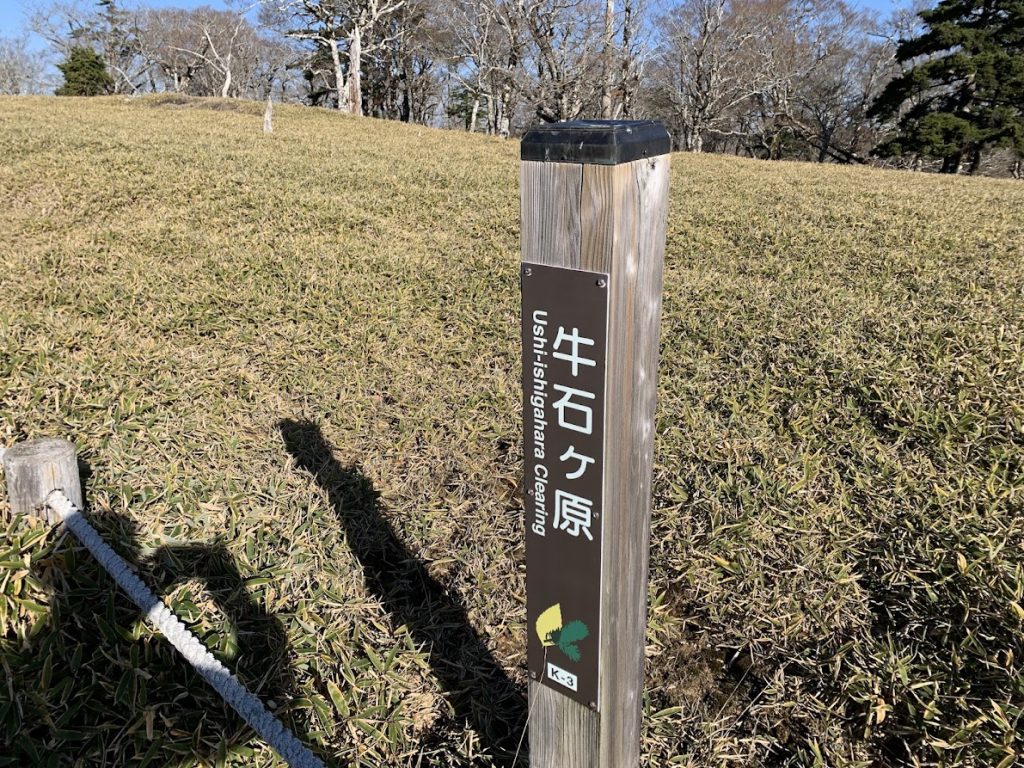
Ushiishigahara (Ushiishi Plain)
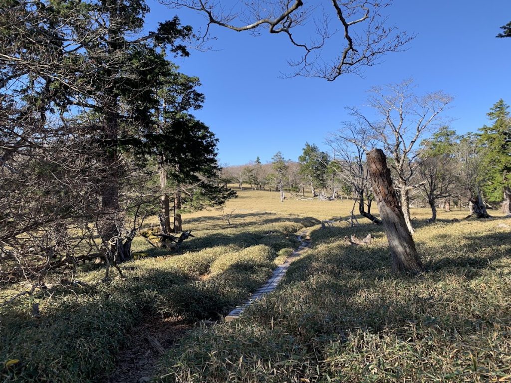
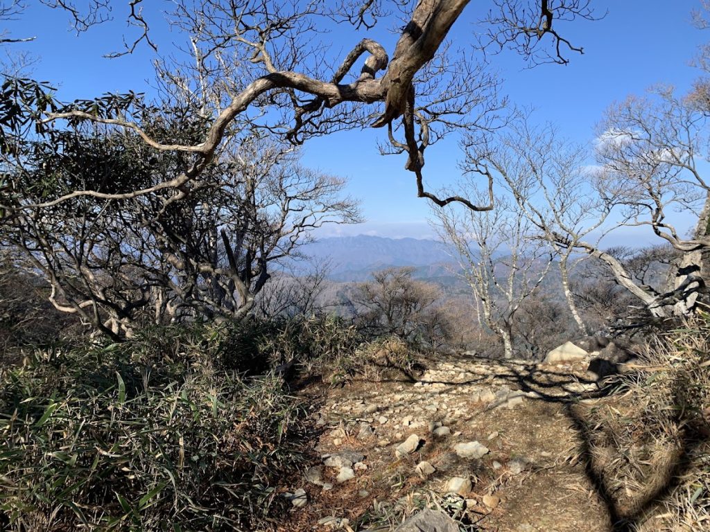
A mostly flat path continues.
The scenery features trees growing within the bamboo grass fields.
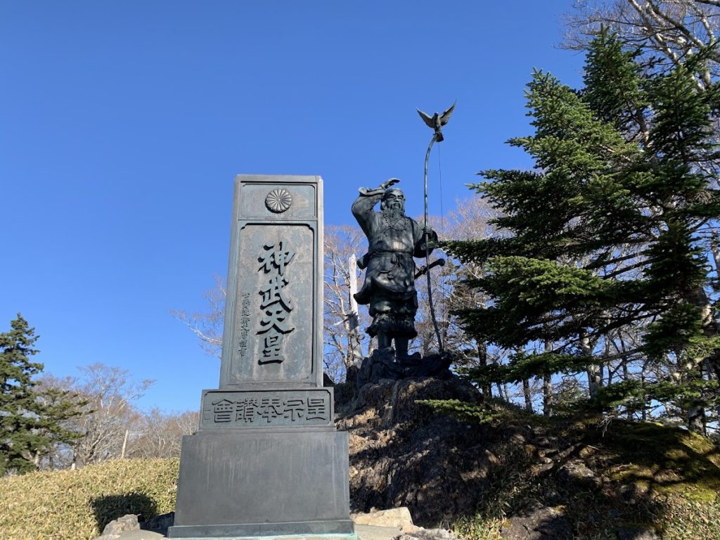
This is the statue of Emperor Jimmu.
A golden kite bird (kinshi) is perched on top of his bow.

You have arrived at Ushiishigahara (Ushiishi Plain).
Daijagura (Daija Cliff)
Continuing further, you reach a point with cliffs on both sides.
Daijagura (Daija Cliff) is just ahead.
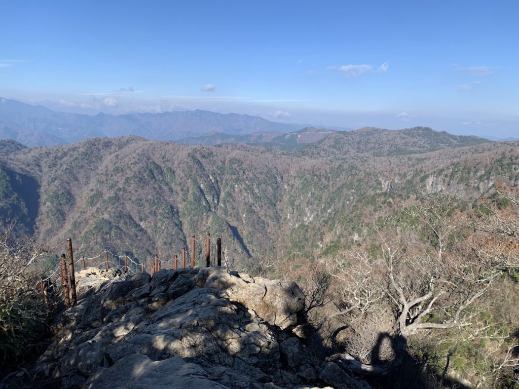
This is Daijagura (Daija Cliff).
Since I visited in mid-November, the autumn leaves had already finished.
Heading back toward the parking lot.
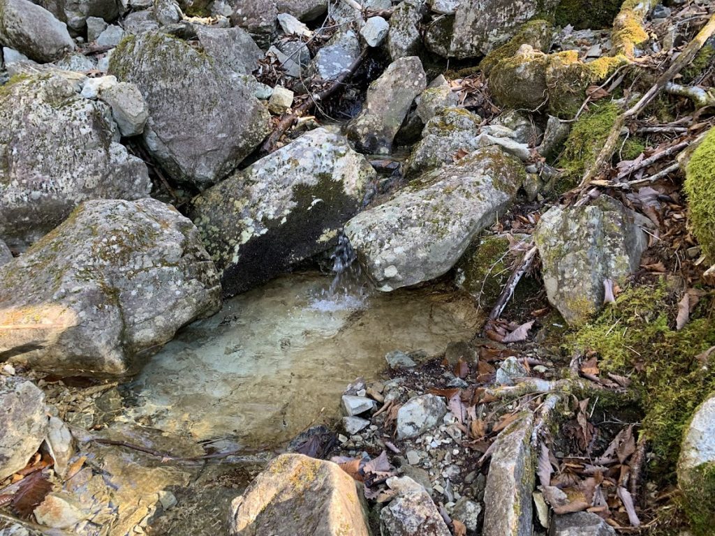
Here is where the underground water (subsurface flow) emerges to the surface, marking the start of a river.
The water at this point flows into the Kumano River.
Looking the other way, you can see the river flowing with water.
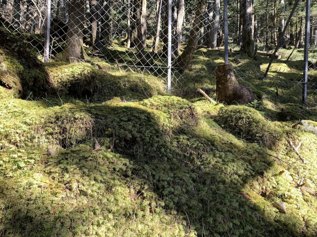
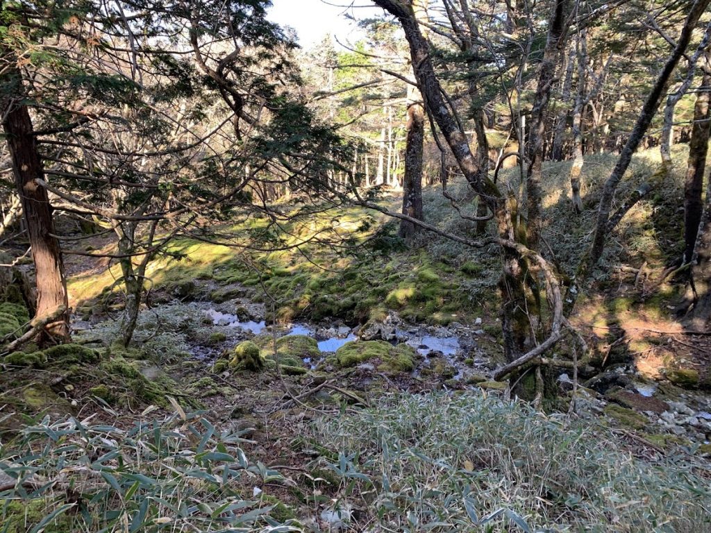
There were several spots covered with moss.
Heading back to the parking lot again.

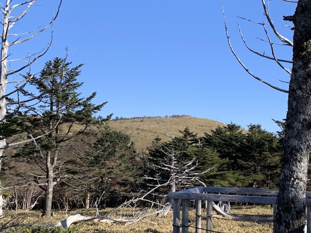
Masaki Pass was visible from the parking lot.
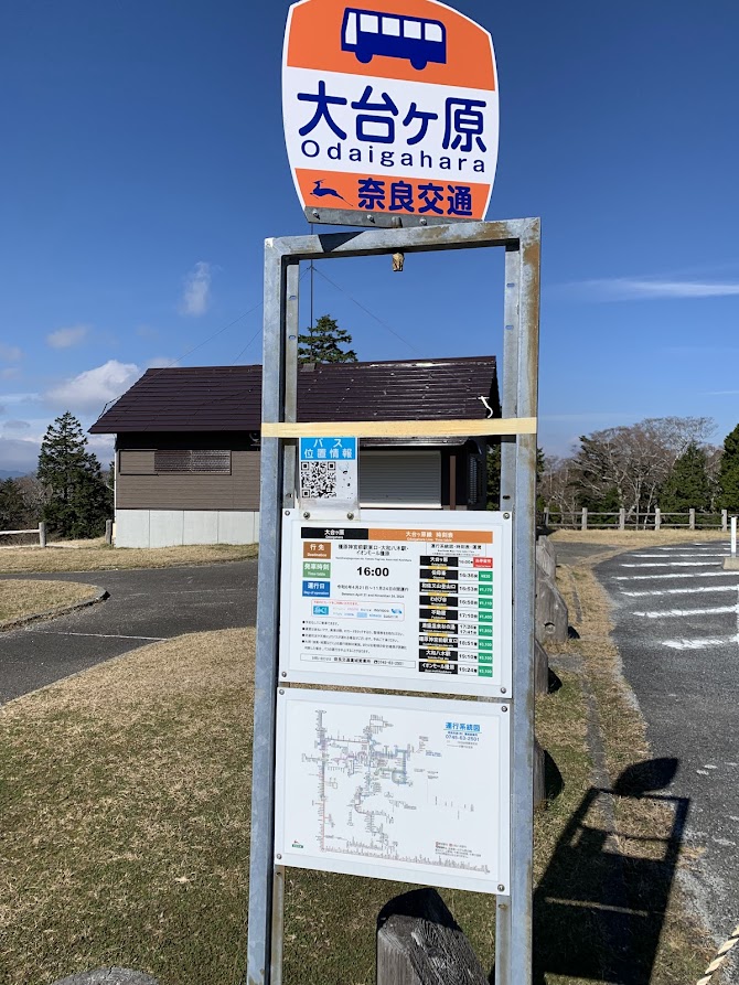
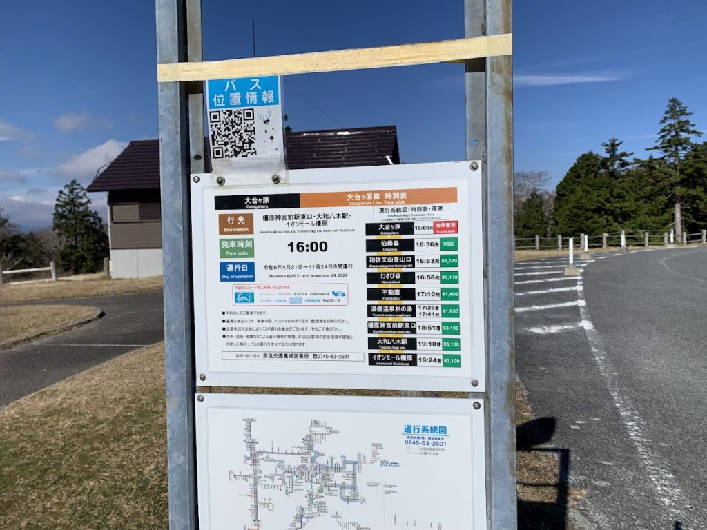
At the bus stop in the parking lot, I checked the bus schedule.
There is only one bus per day, departing at 4:00 PM, heading to Kintetsu Yamato-Yagi Station.

コメント