

Mount Nijo
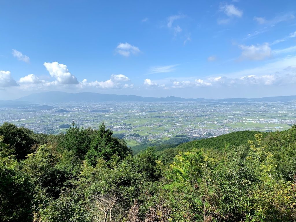
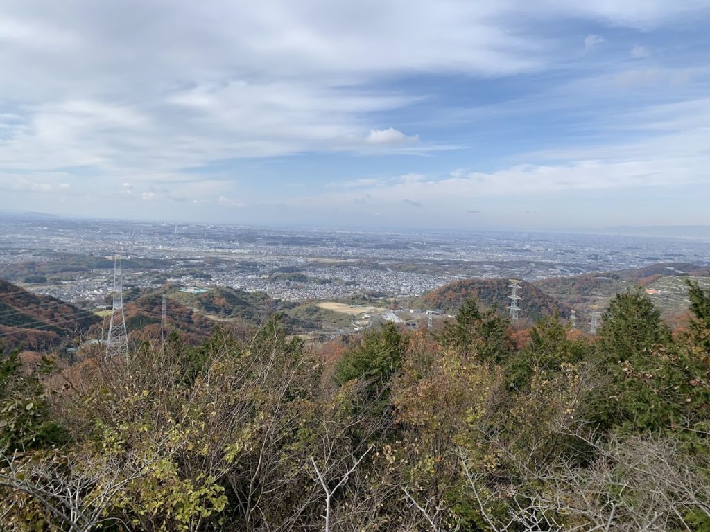
The Nara Basin as seen from the female peak of Mount Nijo.
The male peak is 517 meters tall,
and the female peak is 474 meters.
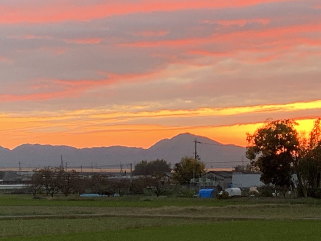
The sunset sinking behind Mount Nijo was photographed from the east side of the Nara Basin.
Depending on the viewing angle, Mount Nijo looks like the back of a camel.
Since ancient times, it has also been called “Futakamiyama.”
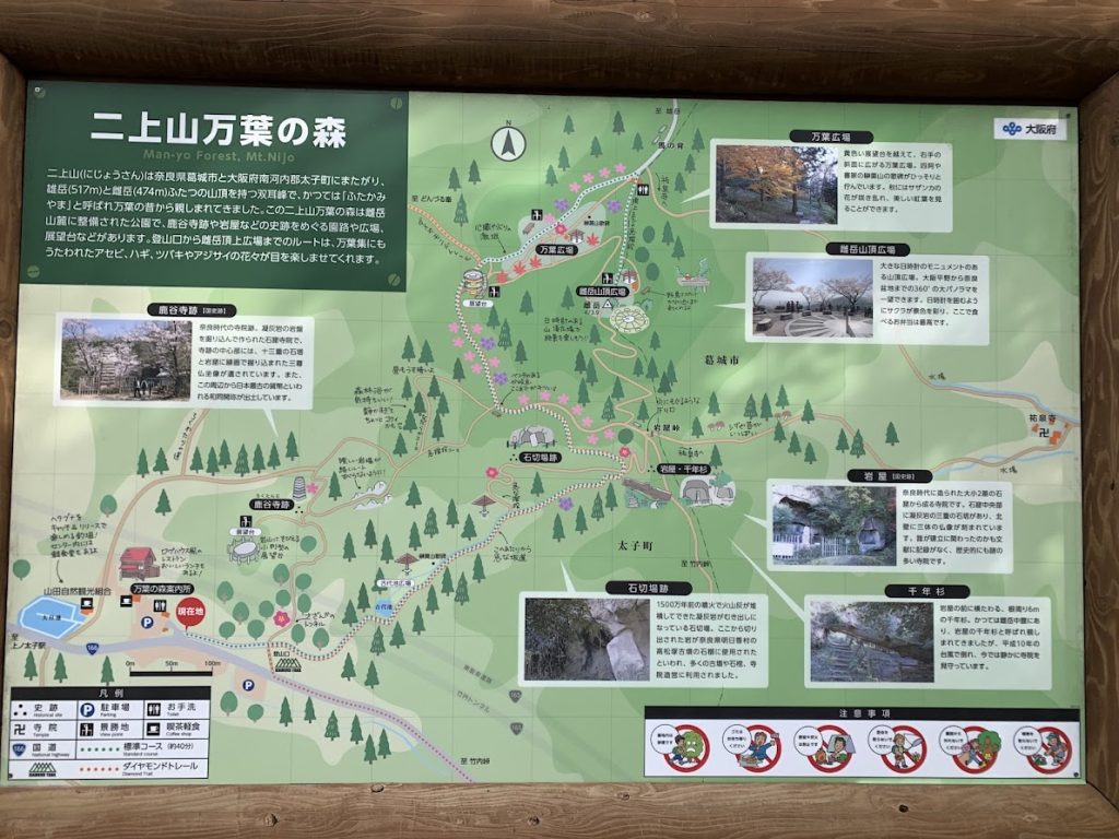
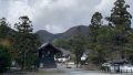
There are several routes to climb Mount Nijo.
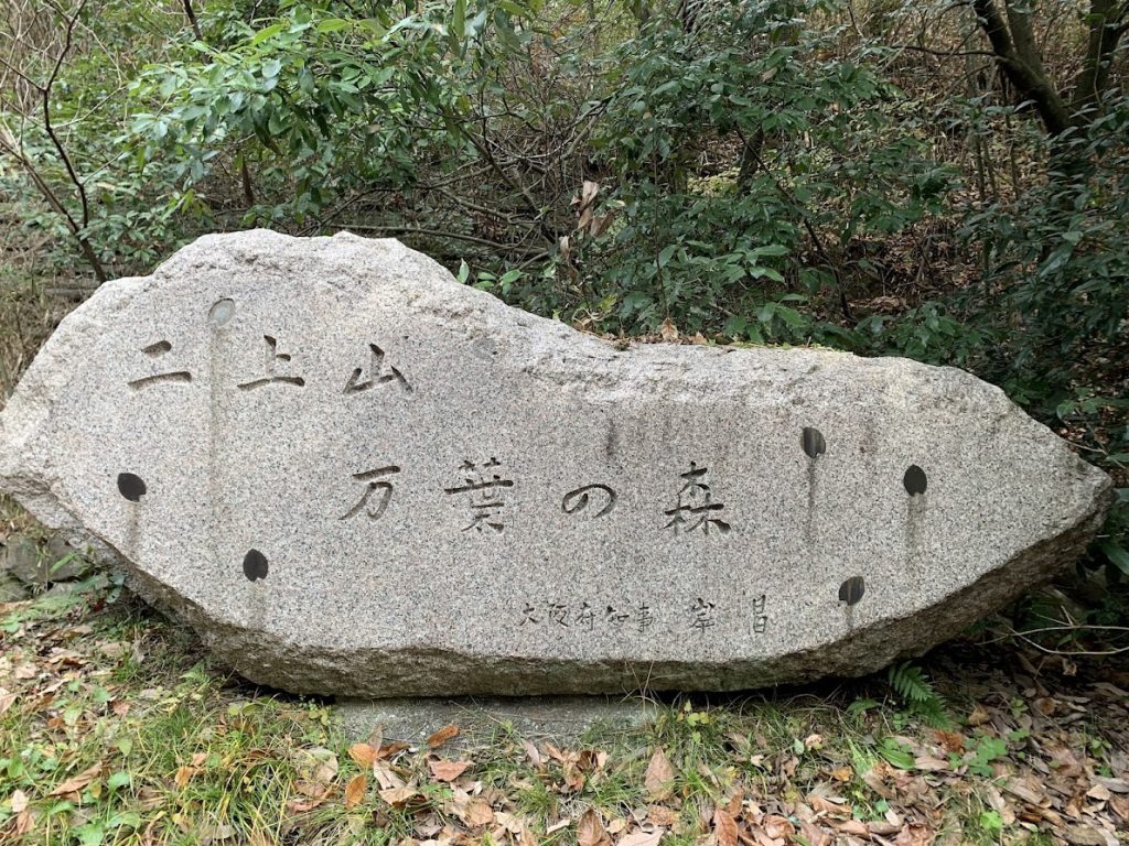
This time, we climbed from Manyo Forest, located just on the Osaka side of Takeuchi Pass, which sits on the border between Nara Prefecture and Osaka Prefecture.
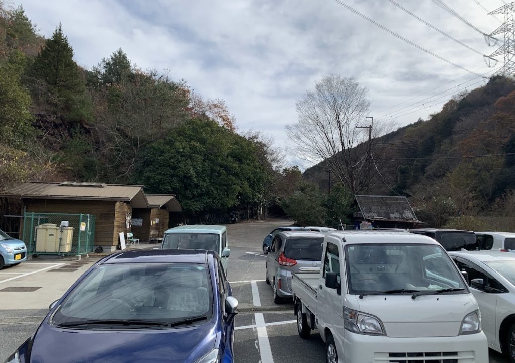
There are free parking lots on both sides of the road.
Although it was a weekday, quite a few cars were parked there that day.
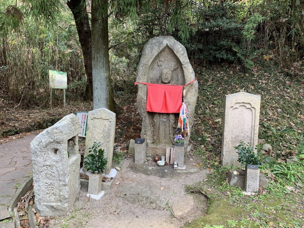
The Jizo statue at the trailhead.
途中、大阪府側の景色がきれいに見えました。
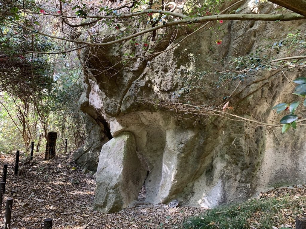
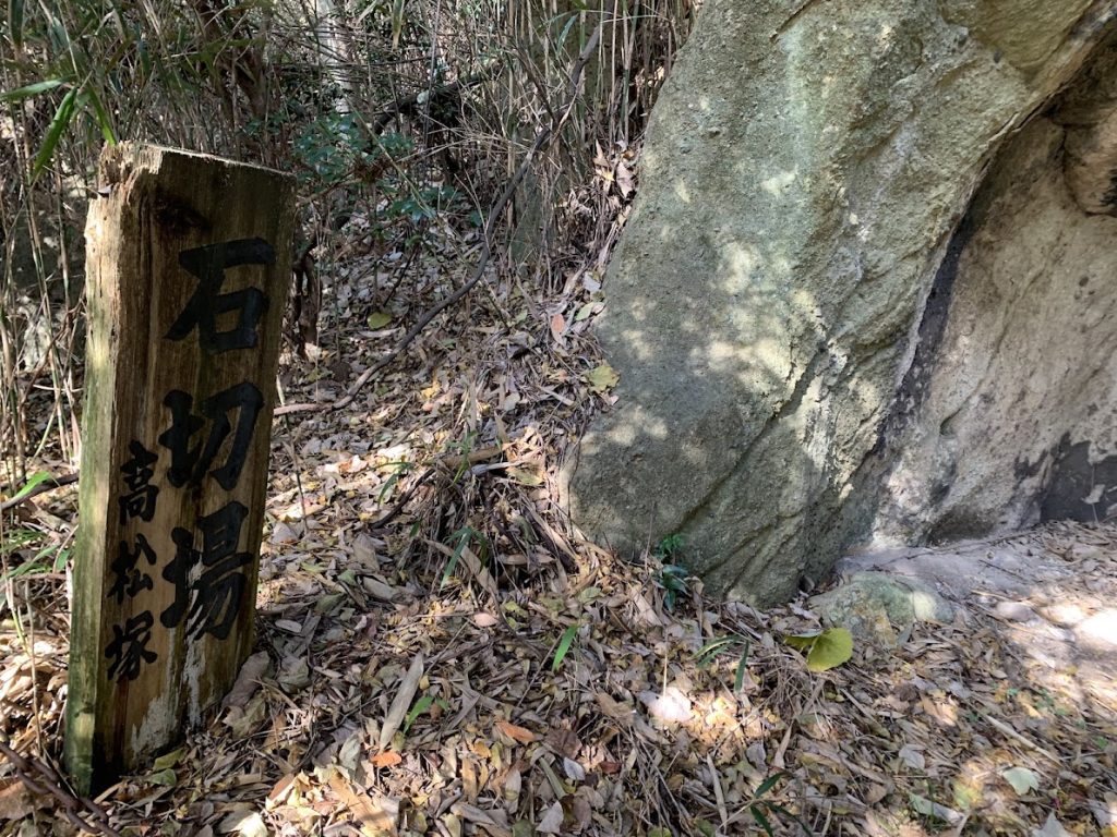
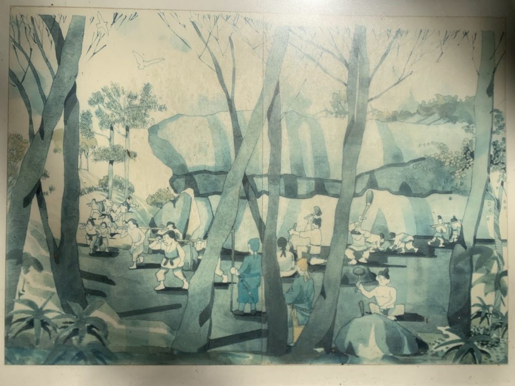
There was a quarry along the way.
It is said that stones for stone coffins were transported from here during the Kofun period.
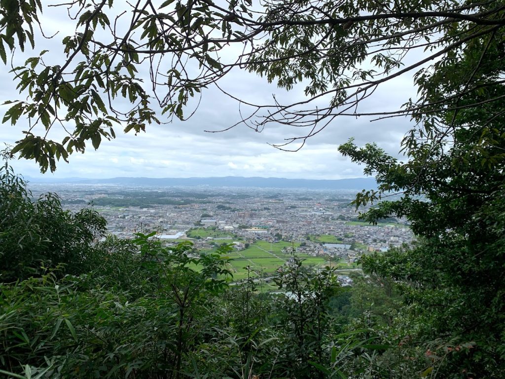
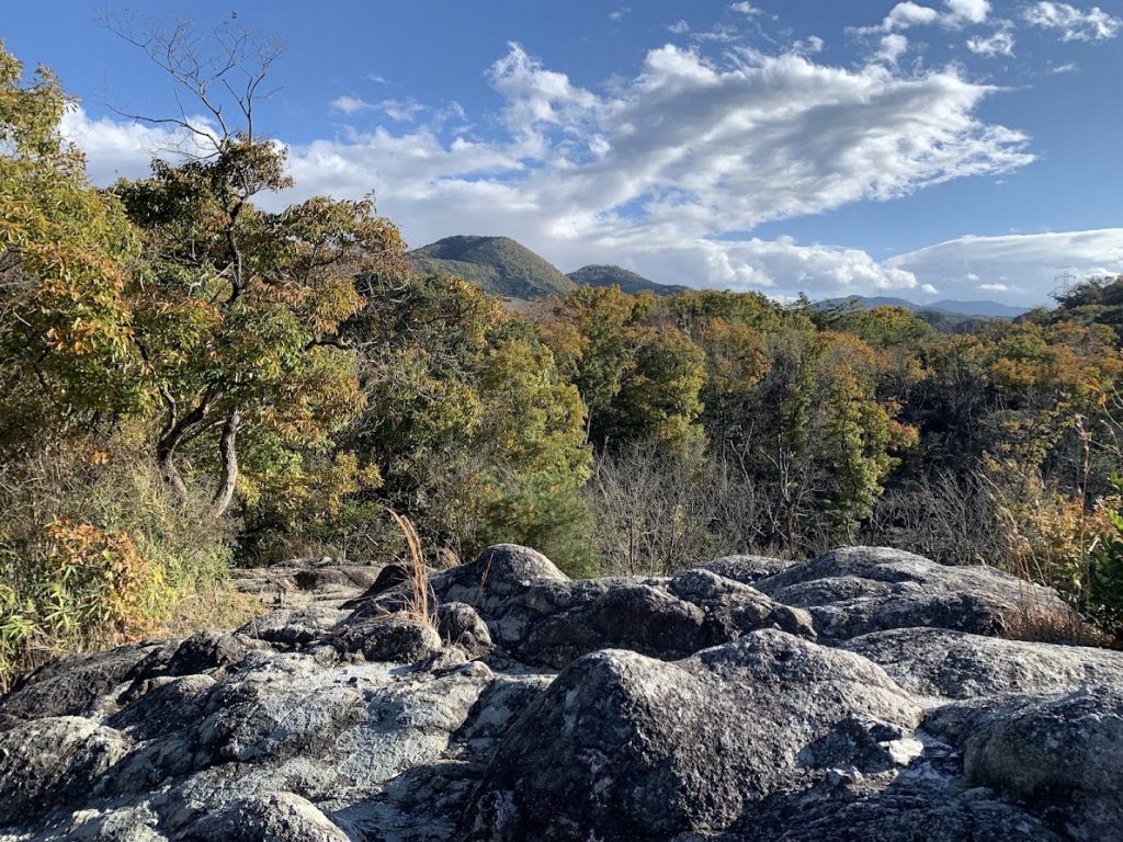
This is the view from the summit of the female peak.
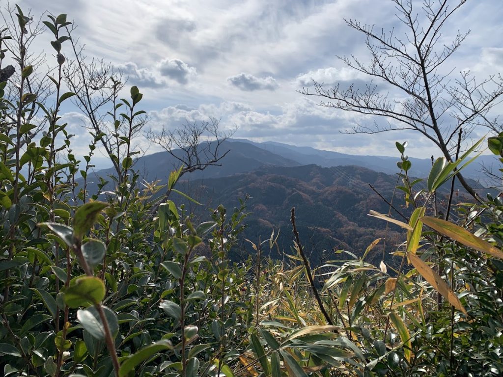
Looking south from the female peak, you can see Mount Katsuragi and Mount Kongo.
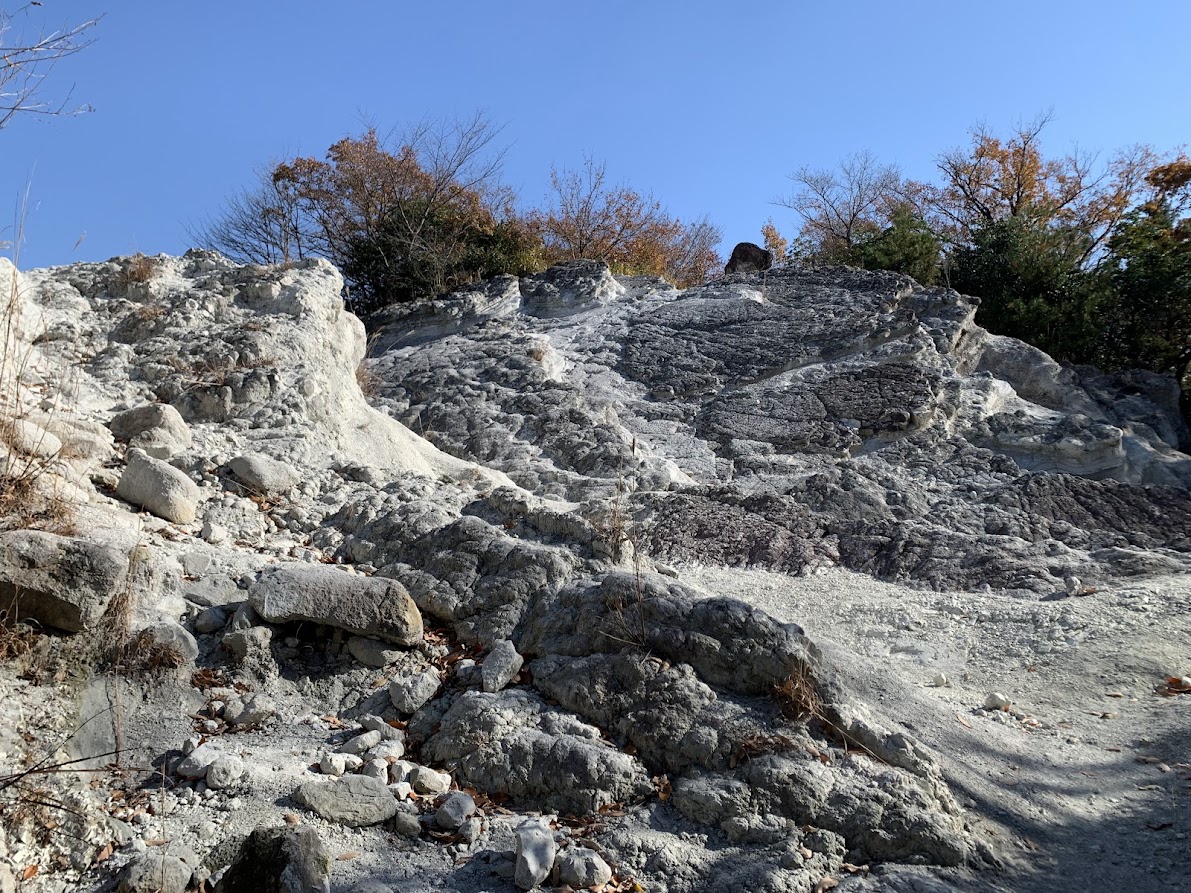
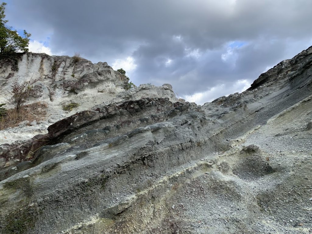
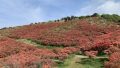
Donzurubo
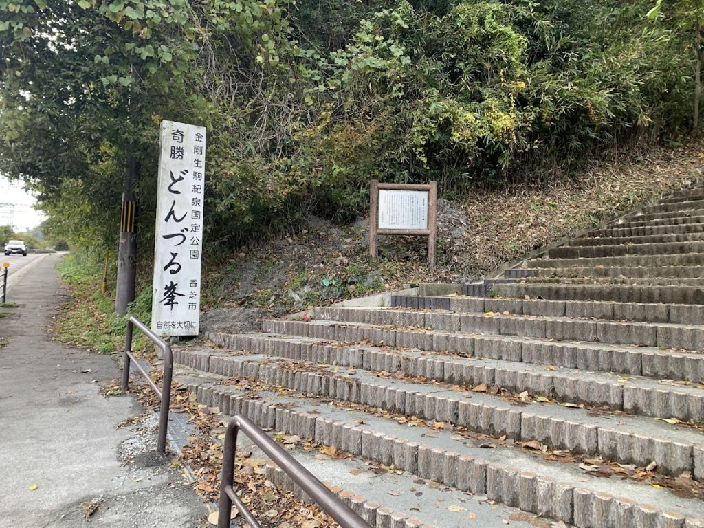
This is the entrance to Donzurubo.
Nearby, there is a free tourist parking lot that can accommodate several cars.
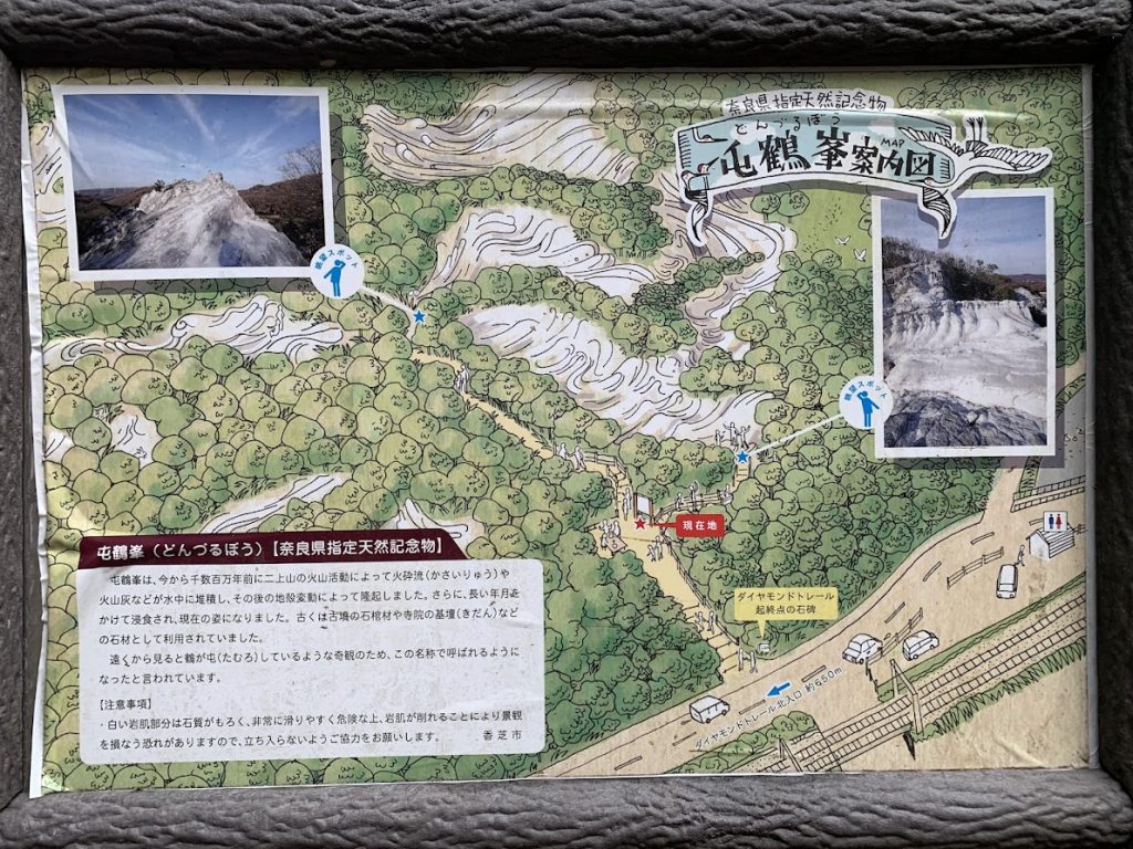
Donzurubo was formed millions of years ago by volcanic activity from Mount Nijo. Pyroclastic flows and volcanic ash were deposited underwater, then uplifted by later crustal movements. Over a long period, erosion shaped it into its current form.
The name Donzurubo comes from the fact that the rocks look like cranes gathering together.
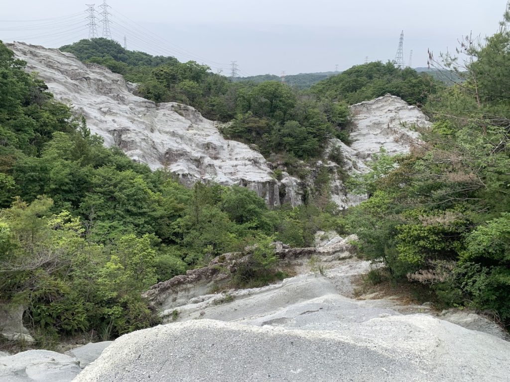

You can see Mount Nijo, which looks like a two-humped camel.
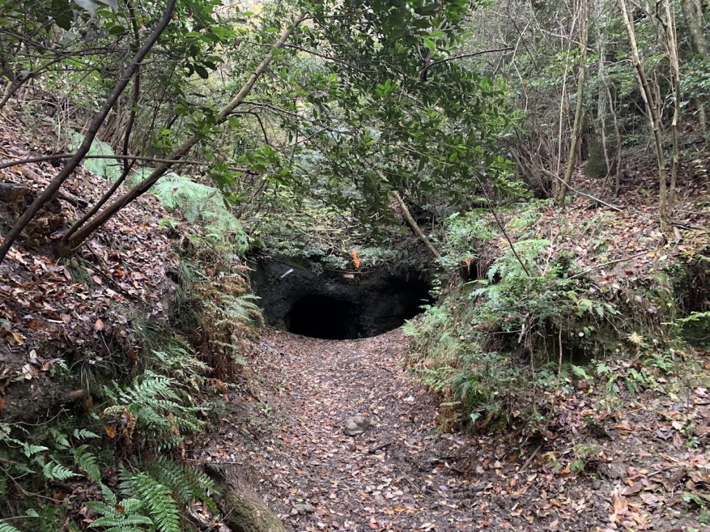
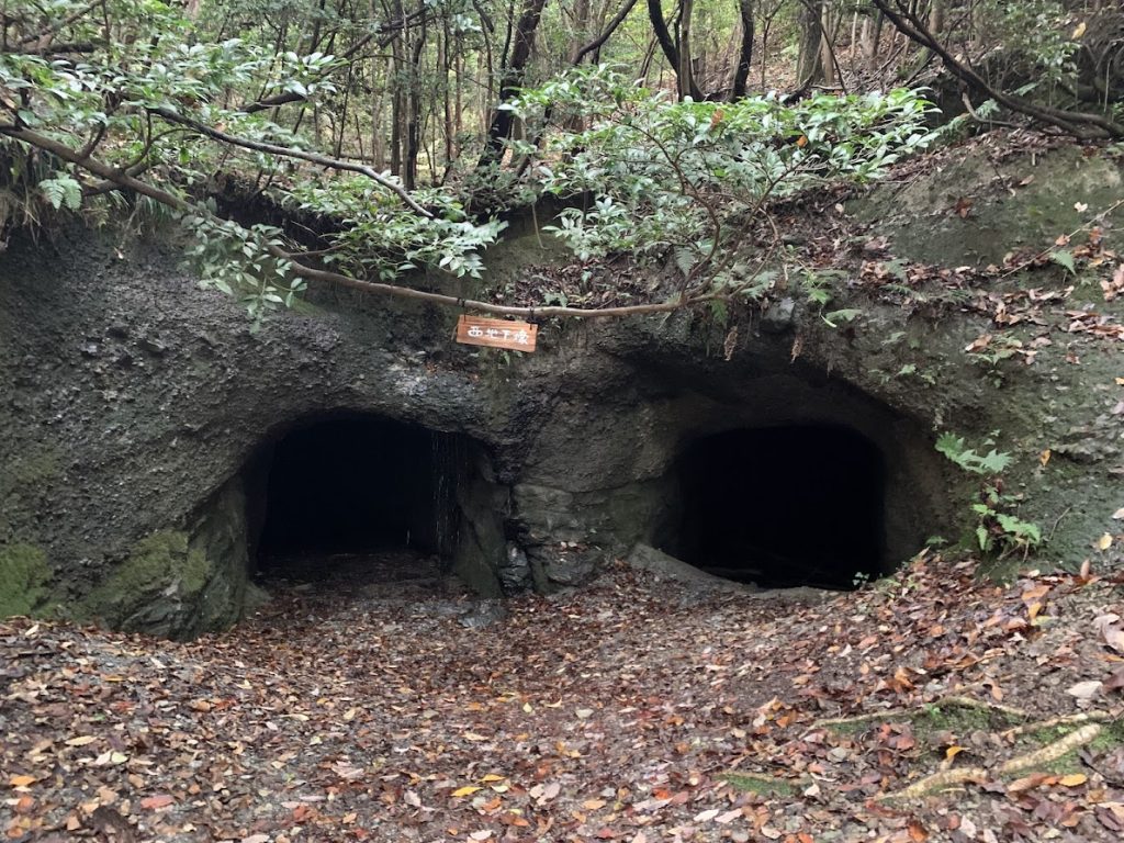
If you go further inside, there is an old air-raid shelter from the former Japanese Army.

コメント