

Mount Katsuragi (Katsuragi-san) is a 959-meter-high mountain spanning Nara and Osaka Prefectures.
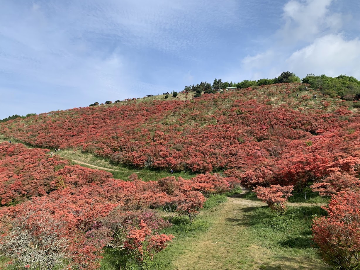
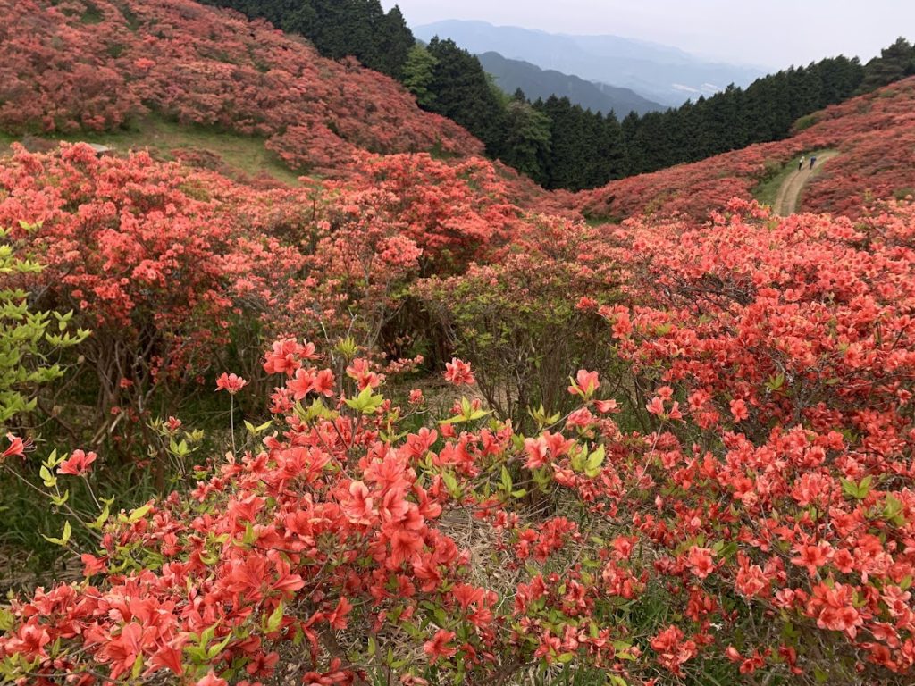
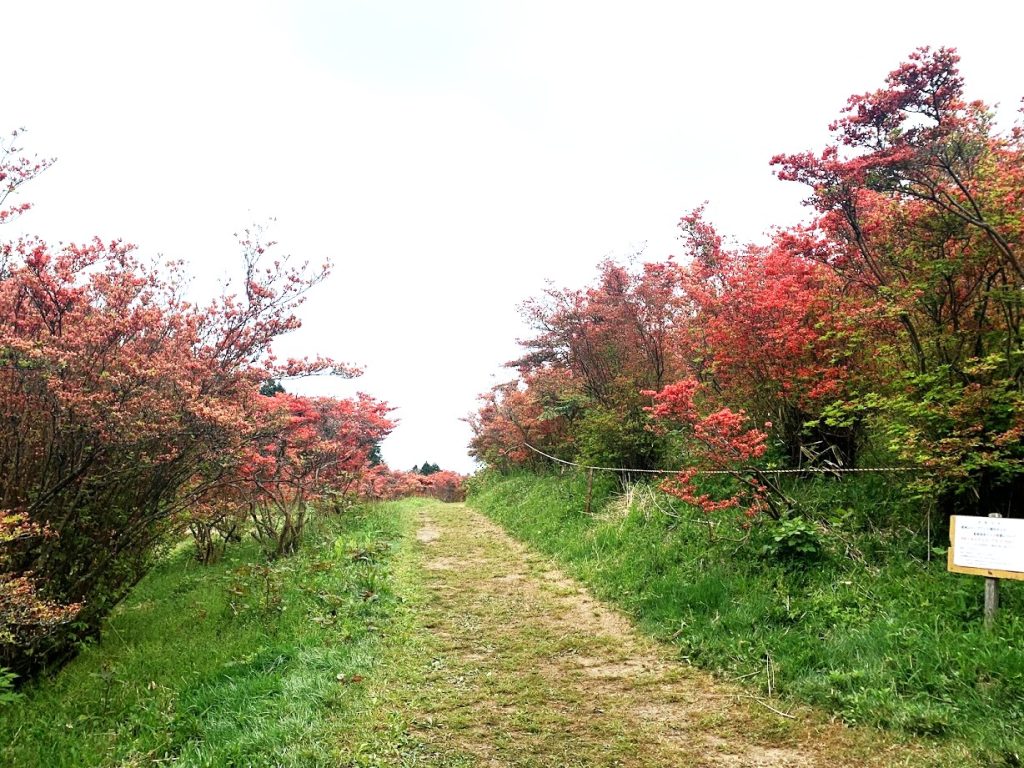
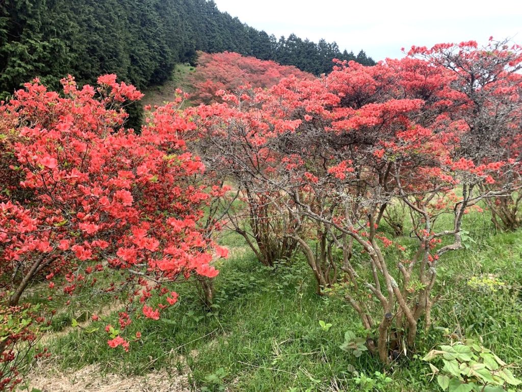
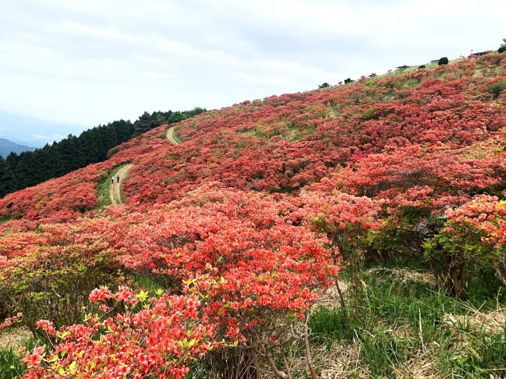
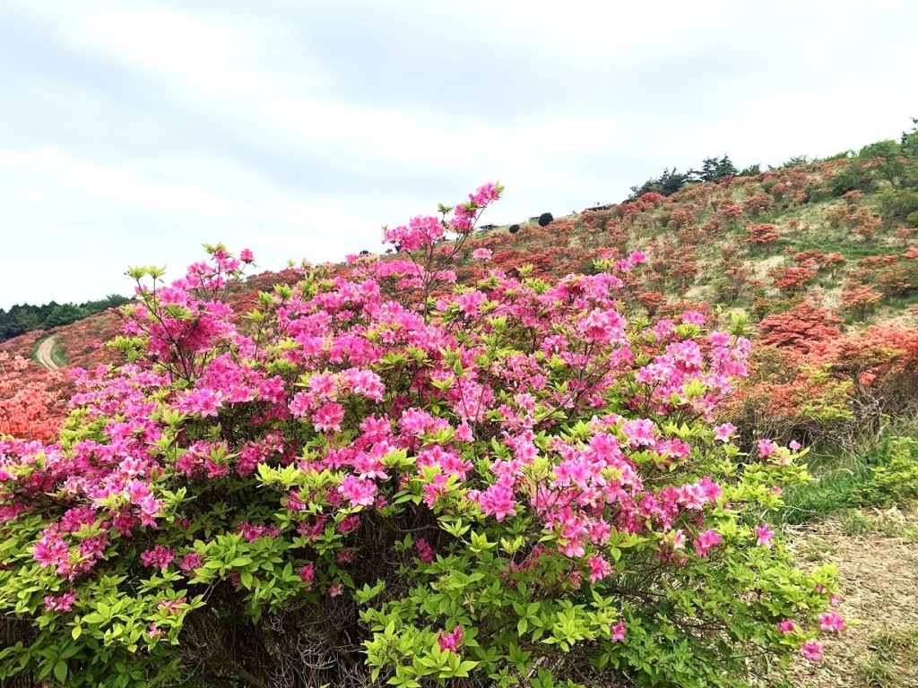
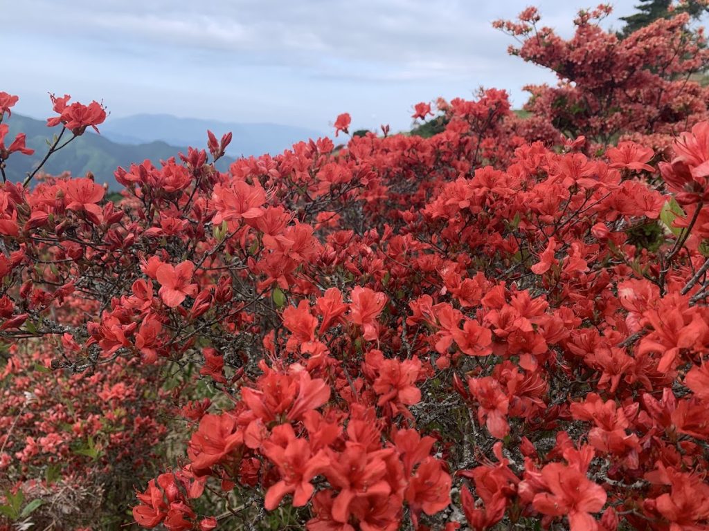
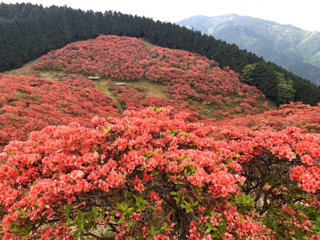
In spring, the mountain is dyed red with azaleas, and in autumn, it is famous for its stunning autumn foliage.
The hiking trails are well-maintained, and a ropeway from Gojo City in Nara Prefecture makes it accessible for both beginners and experienced hikers.
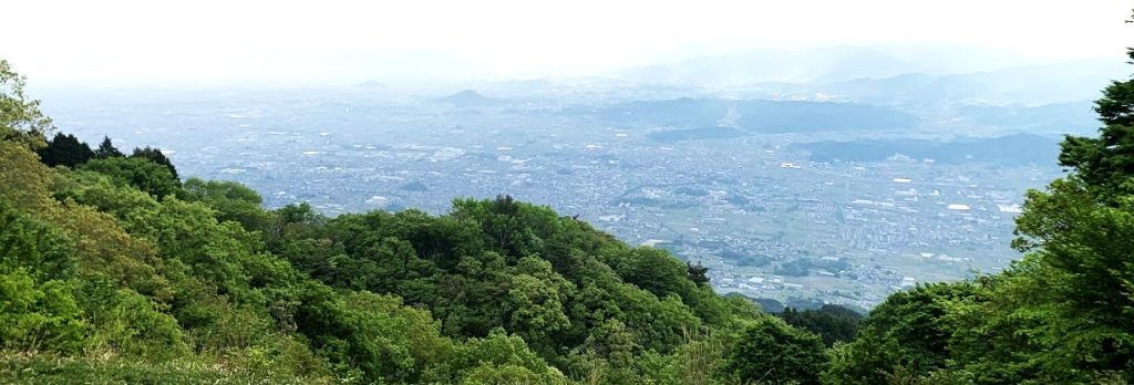
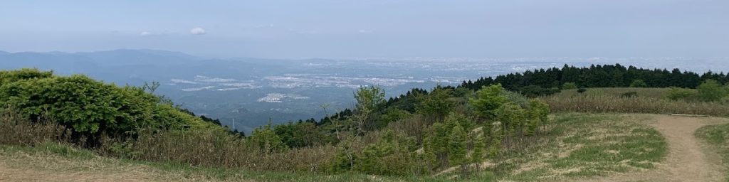
From the summit, you can enjoy breathtaking views of the Nara Basin, the Osaka Plain, and the Kii Mountain Range.
The routes to climb Mount Katsuragi include:
- Taking the ropeway from Gojo City
- Hiking from the trailhead next to the ropeway station
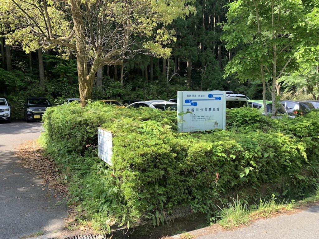
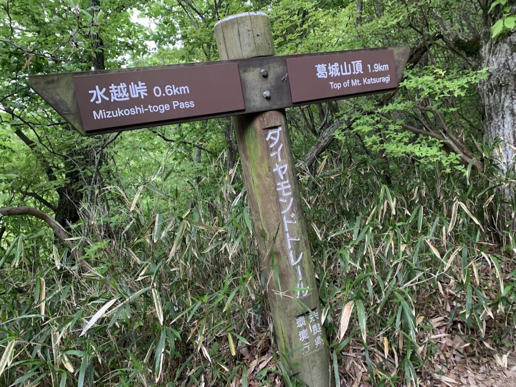
- Hiking from Mizukoshi Pass, located between Mount Kongo to the south and Mount Katsuragi
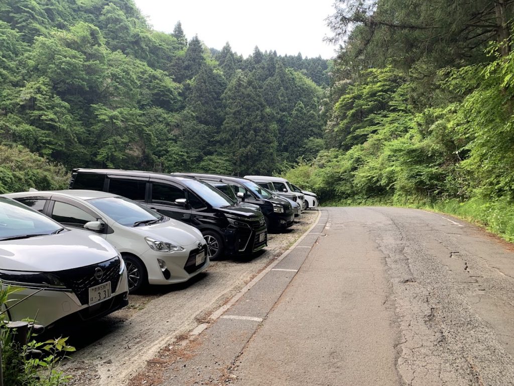

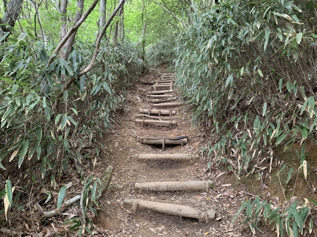
The hike begins at Mizukoshi Pass.
It is approximately 2.5 km to the summit, taking about 50 minutes to reach the top.
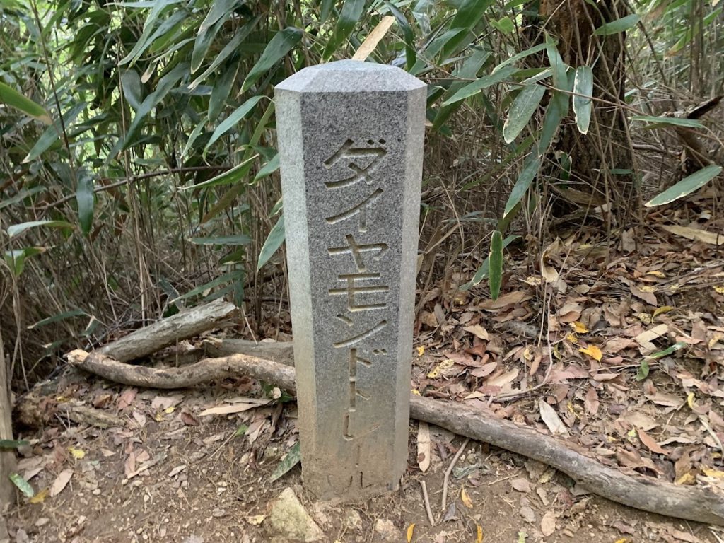
The Diamond Trail is a renowned nature trail in Kansai, stretching approximately 45 km from Tonzurubo in Kashiba City, Nara Prefecture, to Mount Makio in Izumi City, Osaka Prefecture.
Its name originates from “diamond” (kongōseki in Japanese), and it is beloved by hiking enthusiasts.
The trail’s highest peak is Mount Kongō, with an elevation of 1,125 meters.
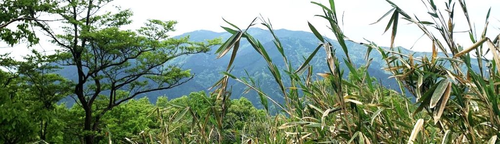
We’re getting closer to the summit.
From here, the highlights of the azaleas begin!
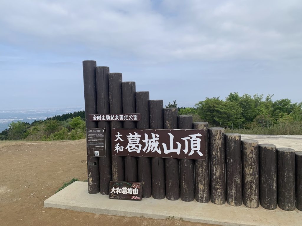
This is the summit of Mount Katsuragi,
elevation 959 meters.
The photo is taken facing Osaka.
コメント